Distance to The Hideout, Pennsylvania

Calculating Your Route
Just a moment while we process your request...
Location Information
-
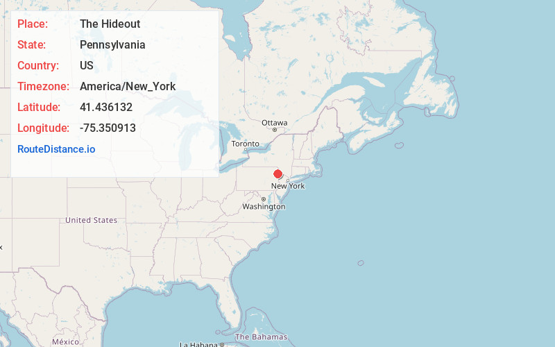
Full AddressThe Hideout, PA 18436
-
Coordinates41.4361323, -75.3509132
-
LocationThe Hideout , Pennsylvania , US
-
TimezoneAmerica/New_York
-
Current Local Time5:19:31 PM America/New_YorkWednesday, June 18, 2025
-
Page Views0
About The Hideout
The Hideout is a private community and census-designated place in Lake and Salem Townships in Wayne County, Pennsylvania, United States. The community's population was 3,013 at the time of the 2010 United States Census.

Nearby Places
Found 10 places within 50 miles

Lake Township
1.5 mi
2.4 km
Lake Township, PA
Get directions

Cherry Ridge
7.6 mi
12.2 km
Cherry Ridge, PA 18431
Get directions

Lackawaxen River
9.7 mi
15.6 km
Lackawaxen River, Pennsylvania
Get directions
Archbald
10.4 mi
16.7 km
Archbald, PA
Get directions

Honesdale
10.8 mi
17.4 km
Honesdale, PA 18431
Get directions
Blooming Grove
11.1 mi
17.9 km
Blooming Grove, PA 18428
Get directions

Jessup
11.2 mi
18.0 km
Jessup, PA
Get directions

Carbondale
12.3 mi
19.8 km
Carbondale, PA 18407
Get directions

Roaring Brook Township
12.9 mi
20.8 km
Roaring Brook Township, PA
Get directions

Blakely
13.0 mi
20.9 km
Blakely, PA
Get directions
Location Links
Local Weather
Weather Information
Coming soon!
Location Map
Static map view of The Hideout, Pennsylvania
Browse Places by Distance
Places within specific distances from The Hideout
Short Distances
Long Distances
Click any distance to see all places within that range from The Hideout. Distances shown in miles (1 mile ≈ 1.61 kilometers).