Distance to and from The Woodlands, Texas
The Woodlands, TX
The Woodlands
Texas
US
America/Chicago
Location Information
-
Full AddressThe Woodlands, TX
-
Coordinates30.1657654, -95.461132
-
LocationThe Woodlands , Texas , US
-
TimezoneAmerica/Chicago
-
Current Local Time10:18:00 AM America/ChicagoSaturday, May 3, 2025
-
Website
-
Page Views1
Directions to Nearest Cities
About The Woodlands
The Woodlands is a special-purpose district and census-designated place in the U.S. state of Texas in the Houston–The Woodlands–Sugar Land metropolitan statistical area. The Woodlands is primarily located in Montgomery County, with portions extending into Harris County.


Nearby Places

Location Links
Local Weather
Weather Information
Coming soon!
Location Map
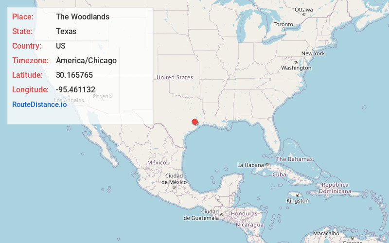
Static map view of The Woodlands, Texas
Browse Places by Distance
Places within specific distances from The Woodlands
Short Distances
Long Distances
Click any distance to see all places within that range from The Woodlands. Distances shown in miles (1 mile ≈ 1.61 kilometers).