Distance to The Woods, Ohio

Calculating Your Route
Just a moment while we process your request...
Location Information
-
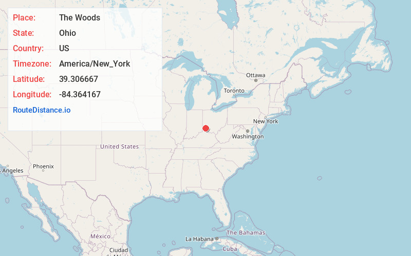
Full AddressThe Woods, OH 45241
-
Coordinates39.3066667, -84.3641667
-
LocationThe Woods , Ohio , US
-
TimezoneAmerica/New_York
-
Current Local Time4:12:31 AM America/New_YorkSaturday, May 24, 2025
-
Page Views0
Nearby Places
Found 10 places within 50 miles

Pisgah
0.8 mi
1.3 km
Pisgah, OH 45069
Get directions
Highpoint
1.5 mi
2.4 km
Highpoint, OH 45249
Get directions
Socialville
2.0 mi
3.2 km
Socialville, Deerfield Township, OH 45040
Get directions

Olde West Chester
2.9 mi
4.7 km
Olde West Chester, OH 45069
Get directions
Sixteen Mile Stand
3.1 mi
5.0 km
Sixteen Mile Stand, OH 45249
Get directions

Symmes Township
3.1 mi
5.0 km
Symmes Township, OH
Get directions

West Chester Township
3.3 mi
5.3 km
West Chester Township, OH
Get directions
Maud
3.6 mi
5.8 km
Maud, West Chester Township, OH 45069
Get directions

Sharonville
3.7 mi
6.0 km
Sharonville, OH
Get directions
Wetherington
4.0 mi
6.4 km
Wetherington, OH 45069
Get directions
Location Links
Local Weather
Weather Information
Coming soon!
Location Map
Static map view of The Woods, Ohio
Browse Places by Distance
Places within specific distances from The Woods
Short Distances
Long Distances
Click any distance to see all places within that range from The Woods. Distances shown in miles (1 mile ≈ 1.61 kilometers).