Distance to Thomaston, Texas

Calculating Your Route
Just a moment while we process your request...
Location Information
-
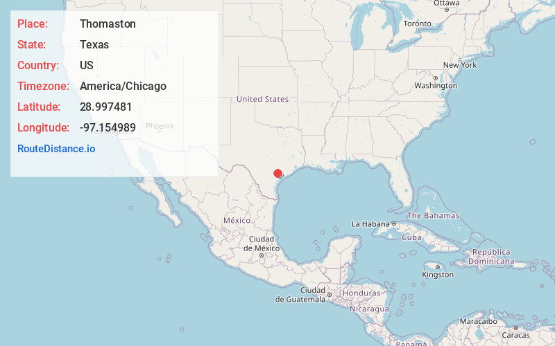
Full AddressThomaston, TX 77954
-
Coordinates28.997481, -97.1549888
-
LocationThomaston , Texas , US
-
TimezoneAmerica/Chicago
-
Current Local Time1:34:39 AM America/ChicagoSunday, May 25, 2025
-
Page Views0
About Thomaston
Thomaston is an unincorporated community in southeastern DeWitt County, Texas, United States. It lies along U.S. Route 87, southeast of the city of Cuero, the county seat of DeWitt County. Its elevation is 161 feet. Although Thomaston is unincorporated, it has a post office, with the ZIP code of 77989.

Nearby Places
Found 10 places within 50 miles

Mission Valley
7.2 mi
11.6 km
Mission Valley, TX 77905
Get directions

Cuero
10.5 mi
16.9 km
Cuero, TX 77954
Get directions

Schroeder
13.3 mi
21.4 km
Schroeder, TX 77963
Get directions

Terryville
14.2 mi
22.9 km
Terryville, TX 77995
Get directions
Edgar
15.1 mi
24.3 km
Edgar, TX 77954
Get directions

Victoria
16.1 mi
25.9 km
Victoria, TX
Get directions

Raisin
17.8 mi
28.6 km
Raisin, TX 77905
Get directions

Telferner
19.0 mi
30.6 km
Telferner, TX 77988
Get directions

Yoakum
20.1 mi
32.3 km
Yoakum, TX 77995
Get directions

Yorktown
21.1 mi
34.0 km
Yorktown, TX 78164
Get directions
Location Links
Local Weather
Weather Information
Coming soon!
Location Map
Static map view of Thomaston, Texas
Browse Places by Distance
Places within specific distances from Thomaston
Short Distances
Long Distances
Click any distance to see all places within that range from Thomaston. Distances shown in miles (1 mile ≈ 1.61 kilometers).