Distance to Thompsonville, Michigan

Calculating Your Route
Just a moment while we process your request...
Location Information
-
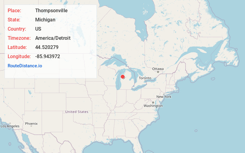
Full AddressThompsonville, MI 49683
-
Coordinates44.5202794, -85.9439718
-
LocationThompsonville , Michigan , US
-
TimezoneAmerica/Detroit
-
Current Local Time7:21:10 AM America/DetroitSaturday, May 31, 2025
-
Page Views0
About Thompsonville
Thompsonville is a village in Benzie County in the U.S. state of Michigan. The village had a population of 451 at the 2020 census, up from 441 at the 2010 census. The village lies immediately north of the Manistee County line, and is divided between Colfax and Weldon townships.


Nearby Places
Found 10 places within 50 miles

Benzonia
10.4 mi
16.7 km
Benzonia, MI 49616
Get directions

Kaleva
10.7 mi
17.2 km
Kaleva, MI 49645
Get directions

Interlochen
12.2 mi
19.6 km
Interlochen, MI
Get directions

Buckley
13.2 mi
21.2 km
Buckley, MI 49620
Get directions

Hardwood Acres
15.1 mi
24.3 km
Hardwood Acres, MI
Get directions

Grawn
15.8 mi
25.4 km
Grawn, MI
Get directions

Frankfort
16.3 mi
26.2 km
Frankfort, MI 49635
Get directions

Kingsley
20.6 mi
33.2 km
Kingsley, MI 49649
Get directions

Traverse City
23.1 mi
37.2 km
Traverse City, MI
Get directions
Greilickville
24.2 mi
38.9 km
Greilickville, MI
Get directions
Location Links
Local Weather
Weather Information
Coming soon!
Location Map
Static map view of Thompsonville, Michigan
Browse Places by Distance
Places within specific distances from Thompsonville
Short Distances
Long Distances
Click any distance to see all places within that range from Thompsonville. Distances shown in miles (1 mile ≈ 1.61 kilometers).