Distance to Thompsonville, Delaware

Calculating Your Route
Just a moment while we process your request...
Location Information
-
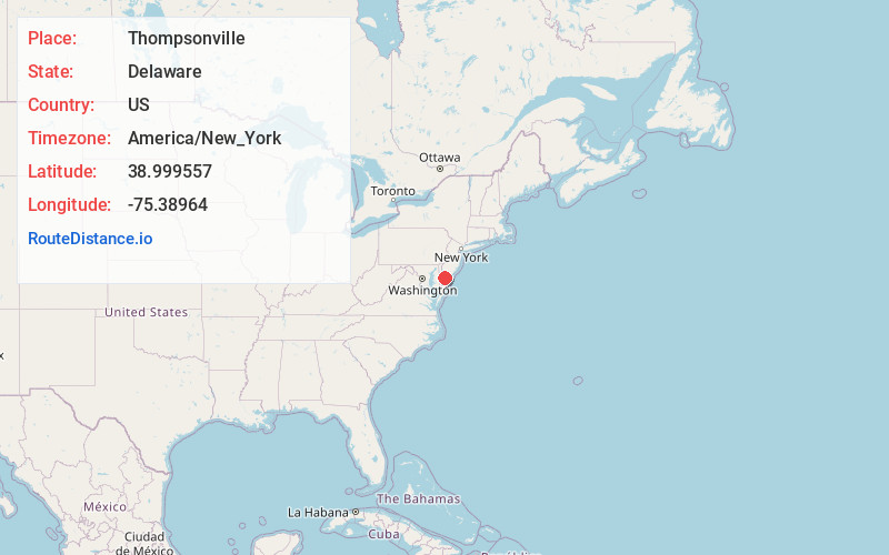
Full AddressThompsonville, DE 19963
-
Coordinates38.999557, -75.3896396
-
LocationDelaware , US
-
TimezoneAmerica/New_York
-
Current Local Time11:27:14 PM America/New_YorkThursday, June 19, 2025
-
Page Views0
About Thompsonville
Thompsonville is an unincorporated community in Kent County, Delaware, United States. Thompsonville is located at the intersection of Milford Neck Road and Bennetts Pier Road, northeast of Milford.
Nearby Places
Found 10 places within 50 miles

Spring Hill
3.2 mi
5.1 km
Spring Hill, DE 19963
Get directions
Lynch Heights
3.8 mi
6.1 km
Lynch Heights, DE 19963
Get directions

Frederica
4.1 mi
6.6 km
Frederica, DE 19946
Get directions

Bowers
4.2 mi
6.8 km
Bowers, DE
Get directions
Chestnut Knoll
4.4 mi
7.1 km
Chestnut Knoll, DE 19963
Get directions

Milford
6.4 mi
10.3 km
Milford, DE
Get directions
Church Hill Village
6.4 mi
10.3 km
Church Hill Village, DE 19963
Get directions
Riverview
6.8 mi
10.9 km
Riverview, DE
Get directions

Magnolia
6.8 mi
10.9 km
Magnolia, DE 19962
Get directions
Country Club Estates
6.8 mi
10.9 km
Country Club Estates, DE 19963
Get directions
Location Links
Local Weather
Weather Information
Coming soon!
Location Map
Static map view of Thompsonville, Delaware
Browse Places by Distance
Places within specific distances from Thompsonville
Short Distances
Long Distances
Click any distance to see all places within that range from Thompsonville. Distances shown in miles (1 mile ≈ 1.61 kilometers).