Distance to Thunder Bay, Ontario

Calculating Your Route
Just a moment while we process your request...
Location Information
-
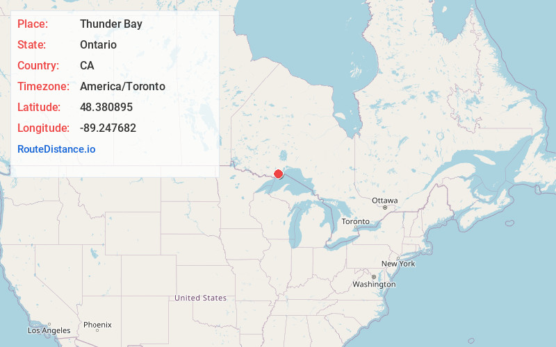
Full AddressThunder Bay, ON, Canada
-
Coordinates48.3808951, -89.2476823
-
LocationThunder Bay , Ontario , CA
-
TimezoneAmerica/Toronto
-
Current Local Time4:36:26 PM America/TorontoThursday, June 26, 2025
-
Website
-
Page Views0
About Thunder Bay
Thunder Bay is a city on Lake Superior, in northwestern Ontario, Canada. The Fort William Historical Park recreates an 1816 fur trading post. A trail leads to the summit of Mount McKay. Offering panoramic views, the Terry Fox Memorial and Lookout features a statue of the athlete and cancer research activist. On Sibley Peninsula, Sleeping Giant Provincial Park has trails, plus wildlife like moose and wolves.


Nearby Places
Found 7 places within 50 miles

Windigo
32.7 mi
52.6 km
Windigo, MI
Get directions

Eagle Nest Island
34.0 mi
54.7 km
Eagle Nest Island, Houghton Township, MI
Get directions

Grand Portage
35.2 mi
56.6 km
Grand Portage, MN 55605
Get directions
Houghton Township
35.4 mi
57.0 km
Houghton Township, MI
Get directions

Pigeon River
38.1 mi
61.3 km
Pigeon River, Grand Portage, MN
Get directions
Mineral Center
38.7 mi
62.3 km
Mineral Center, MN 55605
Get directions
Red Rock
39.0 mi
62.8 km
Red Rock, MN 55605
Get directions
Location Links
Local Weather
Weather Information
Coming soon!
Location Map
Static map view of Thunder Bay, Ontario
Browse Places by Distance
Places within specific distances from Thunder Bay
Short Distances
Long Distances
Click any distance to see all places within that range from Thunder Bay. Distances shown in miles (1 mile ≈ 1.61 kilometers).