Distance to Tickfaw, Louisiana

Calculating Your Route
Just a moment while we process your request...
Location Information
-
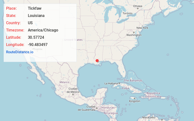
Full AddressTickfaw, LA 70466
-
Coordinates30.5772403, -90.483497
-
LocationTickfaw , Louisiana , US
-
TimezoneAmerica/Chicago
-
Current Local Time11:20:15 PM America/ChicagoWednesday, June 18, 2025
-
Page Views0
About Tickfaw
Tickfaw was founded in 1852 and is a village in Tangipahoa Parish, Louisiana, United States. The population was 694 at the 2010 census. Tickfaw is part of the Hammond MSA. It was originally inhabited by Italian-American immigrants and continues to have a distinct Italian-American heritage.


Nearby Places
Found 10 places within 50 miles

Natalbany
2.1 mi
3.4 km
Natalbany, LA
Get directions

Independence
4.2 mi
6.8 km
Independence, LA
Get directions

Hammond
5.2 mi
8.4 km
Hammond, LA
Get directions

Albany
7.7 mi
12.4 km
Albany, LA
Get directions

Ponchatoula
9.9 mi
15.9 km
Ponchatoula, LA
Get directions

Amite City
10.4 mi
16.7 km
Amite City, LA 70422
Get directions

Roseland
13.1 mi
21.1 km
Roseland, LA 70456
Get directions
Killian
16.3 mi
26.2 km
Killian, LA 70462
Get directions

Livingston
16.6 mi
26.7 km
Livingston, LA 70754
Get directions
Greensburg
20.8 mi
33.5 km
Greensburg, LA 70441
Get directions
Location Links
Local Weather
Weather Information
Coming soon!
Location Map
Static map view of Tickfaw, Louisiana
Browse Places by Distance
Places within specific distances from Tickfaw
Short Distances
Long Distances
Click any distance to see all places within that range from Tickfaw. Distances shown in miles (1 mile ≈ 1.61 kilometers).