Distance to Tigerville, South Dakota

Calculating Your Route
Just a moment while we process your request...
Location Information
-
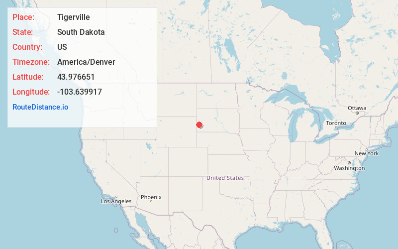
Full AddressTigerville, West Pennington, SD 57745
-
Coordinates43.9766509, -103.6399165
-
LocationWest Pennington , South Dakota , US
-
TimezoneAmerica/Denver
-
Current Local Time12:53:14 AM America/DenverMonday, June 2, 2025
-
Page Views0
About Tigerville
Tigerville or Tiger City is a ghost town in the Black Hills of Pennington County, South Dakota, United States. The old mining town exemplifies the boom-and-bust fate of many Western towns.
Nearby Places
Found 10 places within 50 miles

Hill City
4.4 mi
7.1 km
Hill City, SD
Get directions

Oreville
7.6 mi
12.2 km
Oreville, West Pennington, SD 57730
Get directions
Deerfield
10.1 mi
16.3 km
Deerfield, West Pennington, SD 57745
Get directions

Merritt
11.9 mi
19.2 km
Merritt, South Lawrence, SD 57759
Get directions

Keystone
12.4 mi
20.0 km
Keystone, SD 57751
Get directions
Johnson Siding
12.5 mi
20.1 km
Johnson Siding, SD 57702
Get directions

Custer
14.7 mi
23.7 km
Custer, SD 57730
Get directions

Colonial Pine Hills
16.3 mi
26.2 km
Colonial Pine Hills, SD 57702
Get directions
Black Hawk
20.4 mi
32.8 km
Black Hawk, SD 57718
Get directions

Summerset
20.8 mi
33.5 km
Summerset, SD
Get directions
Location Links
Local Weather
Weather Information
Coming soon!
Location Map
Static map view of Tigerville, South Dakota
Browse Places by Distance
Places within specific distances from Tigerville
Short Distances
Long Distances
Click any distance to see all places within that range from Tigerville. Distances shown in miles (1 mile ≈ 1.61 kilometers).