Distance to Tippecanoe, Ohio

Calculating Your Route
Just a moment while we process your request...
Location Information
-
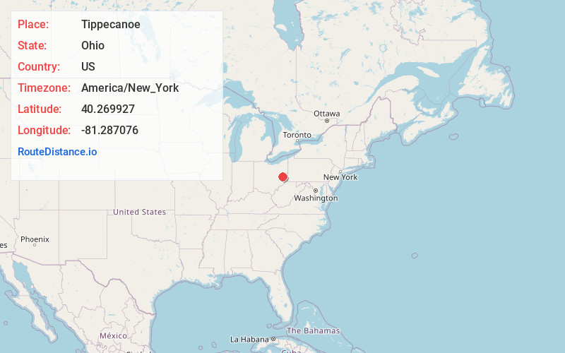
Full AddressTippecanoe, OH 44699
-
Coordinates40.269927, -81.2870756
-
LocationTippecanoe , Ohio , US
-
TimezoneAmerica/New_York
-
Current Local Time8:10:03 AM America/New_YorkWednesday, June 4, 2025
-
Page Views0
About Tippecanoe
Tippecanoe is an unincorporated community and census-designated place in central Washington Township, Harrison County, Ohio, United States. It is located along State Route 800 in the valley of Stillwater Creek, a north-flowing tributary of the Tuscarawas River. It had a post office until 2011 with the ZIP code 44699.
Nearby Places
Found 10 places within 50 miles

Freeport
4.2 mi
6.8 km
Freeport, OH 43973
Get directions

Dennison
8.8 mi
14.2 km
Dennison, OH 44621
Get directions

Uhrichsville
9.1 mi
14.6 km
Uhrichsville, OH 44683
Get directions

Gnadenhutten
9.9 mi
15.9 km
Gnadenhutten, OH 44629
Get directions
Tuscarawas
10.7 mi
17.2 km
Tuscarawas, OH
Get directions
Holloway
11.0 mi
17.7 km
Holloway, OH
Get directions
Bowerston
11.9 mi
19.2 km
Bowerston, OH 44695
Get directions
Midvale
12.5 mi
20.1 km
Midvale, OH
Get directions

Port Washington
13.0 mi
20.9 km
Port Washington, OH 43837
Get directions
Barnhill
13.0 mi
20.9 km
Barnhill, OH
Get directions
Location Links
Local Weather
Weather Information
Coming soon!
Location Map
Static map view of Tippecanoe, Ohio
Browse Places by Distance
Places within specific distances from Tippecanoe
Short Distances
Long Distances
Click any distance to see all places within that range from Tippecanoe. Distances shown in miles (1 mile ≈ 1.61 kilometers).