Distance to Tipton, Ohio

Calculating Your Route
Just a moment while we process your request...
Location Information
-
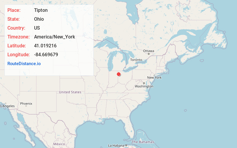
Full AddressTipton, Blue Creek Township, OH 45851
-
Coordinates41.0192155, -84.6696794
-
LocationBlue Creek Township , Ohio , US
-
TimezoneAmerica/New_York
-
Current Local Time8:21:56 PM America/New_YorkTuesday, June 17, 2025
-
Page Views0
Nearby Places
Found 10 places within 50 miles

Batson
3.9 mi
6.3 km
Batson, Benton Township, OH 45880
Get directions
Logtown
4.1 mi
6.6 km
Logtown, OH 45880
Get directions
Worstville
4.3 mi
6.9 km
Worstville, OH 45880
Get directions

Haviland
4.6 mi
7.4 km
Haviland, OH 45851
Get directions
Scott
4.9 mi
7.9 km
Scott, OH 45886
Get directions

Payne
5.0 mi
8.0 km
Payne, OH 45880
Get directions
McGill
5.4 mi
8.7 km
McGill, Benton Township, OH 45880
Get directions
Dague
5.6 mi
9.0 km
Dague, Blue Creek Township, OH 45851
Get directions

Latty
6.5 mi
10.5 km
Latty, OH
Get directions
Baldwin
6.9 mi
11.1 km
Baldwin, Benton Township, OH 45880
Get directions
Location Links
Local Weather
Weather Information
Coming soon!
Location Map
Static map view of Tipton, Ohio
Browse Places by Distance
Places within specific distances from Tipton
Short Distances
Long Distances
Click any distance to see all places within that range from Tipton. Distances shown in miles (1 mile ≈ 1.61 kilometers).