Distance to Toast, North Carolina

Calculating Your Route
Just a moment while we process your request...
Location Information
-
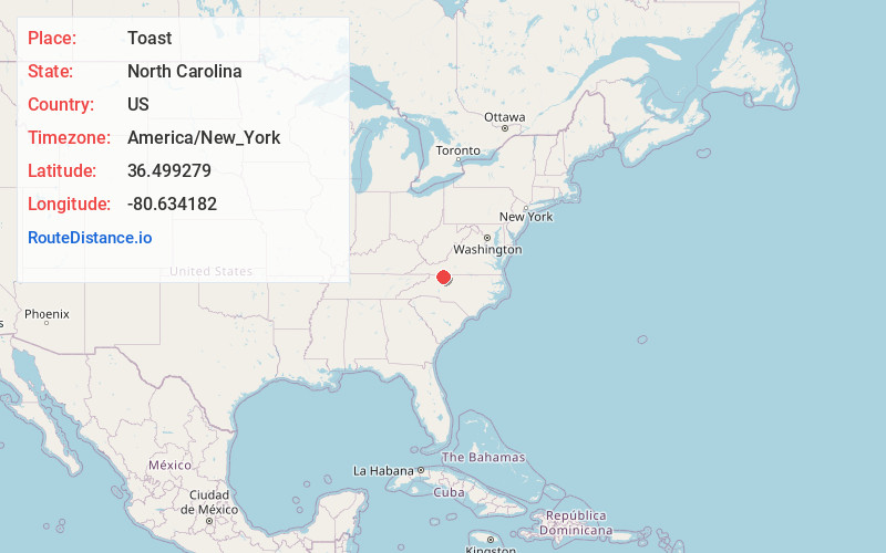
Full AddressToast, NC 27030
-
Coordinates36.4992792, -80.6341819
-
LocationToast , North Carolina , US
-
TimezoneAmerica/New_York
-
Current Local Time3:44:21 AM America/New_YorkWednesday, June 18, 2025
-
Page Views0
About Toast
Toast is a census-designated place in Surry County, North Carolina, United States, just west of Mount Airy. The population was 1,922 at the 2000 census.
A post office called Toast has been in operation since 1929. The name "Toast" was supplied by the Post Office Department. E. P.
Nearby Places
Found 10 places within 50 miles

Mt Airy
1.6 mi
2.6 km
Mt Airy, NC 27030
Get directions

Cana
6.6 mi
10.6 km
Cana, VA 24317
Get directions

Dobson
8.7 mi
14.0 km
Dobson, NC
Get directions

Pilot Mountain
12.0 mi
19.3 km
Pilot Mountain, NC 27041
Get directions

Woodlawn
18.6 mi
29.9 km
Woodlawn, VA
Get directions

Boonville
18.9 mi
30.4 km
Boonville, NC 27011
Get directions

Hillsville
19.0 mi
30.6 km
Hillsville, VA 24343
Get directions

Galax
19.6 mi
31.5 km
Galax, VA 24333
Get directions

Elkin
21.3 mi
34.3 km
Elkin, NC
Get directions

Jonesville
21.4 mi
34.4 km
Jonesville, NC 28642
Get directions
Location Links
Local Weather
Weather Information
Coming soon!
Location Map
Static map view of Toast, North Carolina
Browse Places by Distance
Places within specific distances from Toast
Short Distances
Long Distances
Click any distance to see all places within that range from Toast. Distances shown in miles (1 mile ≈ 1.61 kilometers).