Distance to Toddville, South Carolina

Calculating Your Route
Just a moment while we process your request...
Location Information
-
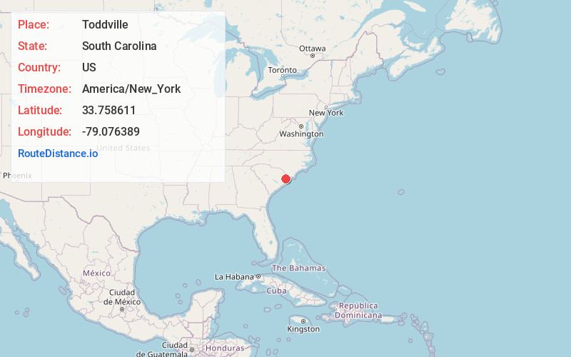
Full AddressToddville, SC 29527
-
Coordinates33.758611, -79.076389
-
LocationToddville , South Carolina , US
-
TimezoneAmerica/New_York
-
Current Local Time3:25:58 AM America/New_YorkSunday, June 1, 2025
-
Page Views0
About Toddville
Toddville is a small unincorporated community in Horry County, South Carolina, United States. Toddville is south of Conway on U.S. Route 701 and mostly consists of farmland.
The local timezone is named America / New York with an UTC offset of -4 hours.
Nearby Places
Found 10 places within 50 miles

Keys Field
1.2 mi
1.9 km
Keys Field, SC 29527
Get directions
Klondike
5.2 mi
8.4 km
Klondike, Bucksport, SC 29527
Get directions
Red Hill
5.4 mi
8.7 km
Red Hill, SC
Get directions

Conway
5.6 mi
9.0 km
Conway, SC
Get directions
Brownway
5.8 mi
9.3 km
Brownway, SC 29527
Get directions
Jaluco
5.9 mi
9.5 km
Jaluco, Carolina Forest, SC 29579
Get directions
Cedar Grove
6.0 mi
9.7 km
Cedar Grove, SC 29527
Get directions
Bucksport
6.6 mi
10.6 km
Bucksport, SC 29527
Get directions

Socastee
6.9 mi
11.1 km
Socastee, SC
Get directions
Canon Hill
7.0 mi
11.3 km
Canon Hill, SC 29527
Get directions
Location Links
Local Weather
Weather Information
Coming soon!
Location Map
Static map view of Toddville, South Carolina
Browse Places by Distance
Places within specific distances from Toddville
Short Distances
Long Distances
Click any distance to see all places within that range from Toddville. Distances shown in miles (1 mile ≈ 1.61 kilometers).