Distance to Tolland, Massachusetts

Calculating Your Route
Just a moment while we process your request...
Location Information
-
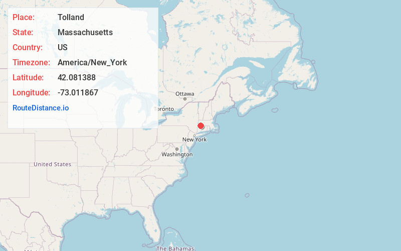
Full AddressTolland, MA
-
Coordinates42.0813879, -73.0118668
-
LocationTolland , Massachusetts , US
-
TimezoneAmerica/New_York
-
Current Local Time7:33:13 AM America/New_YorkMonday, June 2, 2025
-
Page Views0
About Tolland
Tolland is a town in Hampden County, Massachusetts, United States. It is part of the Springfield, Massachusetts Metropolitan Statistical Area. The population was 471 at the 2020 census, making it the smallest town in Hampden County by population.


Nearby Places
Found 10 places within 50 miles

Granville
4.8 mi
7.7 km
Granville, MA
Get directions

Sandisfield
7.1 mi
11.4 km
Sandisfield, MA
Get directions

Blandford
8.1 mi
13.0 km
Blandford, MA
Get directions

Otis
8.7 mi
14.0 km
Otis, MA
Get directions

Russell
10.8 mi
17.4 km
Russell, MA
Get directions

New Marlborough
11.6 mi
18.7 km
New Marlborough, MA
Get directions

Monterey
12.3 mi
19.8 km
Monterey, MA
Get directions

Huntington
12.5 mi
20.1 km
Huntington, MA 01050
Get directions

Southwick
12.5 mi
20.1 km
Southwick, MA
Get directions
Mechanicsville
13.6 mi
21.9 km
Mechanicsville, Granby, CT 06035
Get directions
Location Links
Local Weather
Weather Information
Coming soon!
Location Map
Static map view of Tolland, Massachusetts
Browse Places by Distance
Places within specific distances from Tolland
Short Distances
Long Distances
Click any distance to see all places within that range from Tolland. Distances shown in miles (1 mile ≈ 1.61 kilometers).