Distance to Tomahawk, Kentucky

Calculating Your Route
Just a moment while we process your request...
Location Information
-
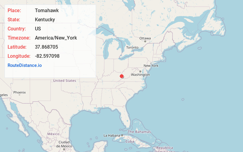
Full AddressTomahawk, KY 41262
-
Coordinates37.8687052, -82.5970983
-
LocationTomahawk , Kentucky , US
-
TimezoneAmerica/New_York
-
Current Local Time11:24:45 PM America/New_YorkThursday, June 19, 2025
-
Page Views0
About Tomahawk
Tomahawk is an unincorporated community that stretches along Kentucky Route 40 in Martin County, Kentucky, United States, in the eastern part of the state near the West Virginia border. It is located on Rockhouse Fork of Rockcastle Creek, approximately six miles west of Inez, the county seat.
Nearby Places
Found 10 places within 50 miles

Stidham
1.2 mi
1.9 km
Stidham, KY 41262
Get directions
Davisport
2.6 mi
4.2 km
Davisport, KY 41262
Get directions

Inez
3.2 mi
5.1 km
Inez, KY 41224
Get directions
Milo
3.5 mi
5.6 km
Milo, KY 41262
Get directions

Debord
3.8 mi
6.1 km
Debord, KY 41224
Get directions
Job
4.5 mi
7.2 km
Job, KY 41224
Get directions
Patrick
4.6 mi
7.4 km
Patrick, KY 41230
Get directions
Chestnut
4.8 mi
7.7 km
Chestnut, KY 41240
Get directions
Davella
4.9 mi
7.9 km
Davella, KY 41214
Get directions
Peach Orchard
5.2 mi
8.4 km
Peach Orchard, KY 41230
Get directions
Location Links
Local Weather
Weather Information
Coming soon!
Location Map
Static map view of Tomahawk, Kentucky
Browse Places by Distance
Places within specific distances from Tomahawk
Short Distances
Long Distances
Click any distance to see all places within that range from Tomahawk. Distances shown in miles (1 mile ≈ 1.61 kilometers).