Distance to Tomato, Arkansas

Calculating Your Route
Just a moment while we process your request...
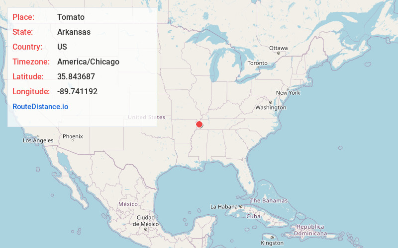
Location Information
-
Full AddressTomato, AR 72358
-
Coordinates35.843687, -89.7411915
-
LocationTomato , Arkansas , US
-
TimezoneAmerica/Chicago
-
Current Local Time3:40:01 AM America/ChicagoThursday, June 19, 2025
-
Page Views0
About Tomato
Tomato is an unincorporated community in Mississippi County, Arkansas, United States. Tomato is located on Island No. 25 in the Mississippi River, 11.5 miles east-southeast of Blytheville. Tomato is known for its unusual place name.
Nearby Places
Found 10 places within 50 miles

Armorel
6.2 mi
10.0 km
Armorel, AR 72315
Get directions

Blytheville
11.0 mi
17.7 km
Blytheville, AR 72315
Get directions
Burdette
11.2 mi
18.0 km
Burdette, AR
Get directions

Luxora
12.1 mi
19.5 km
Luxora, AR 72358
Get directions

Ripley
13.7 mi
22.0 km
Ripley, TN 38063
Get directions
Cooter
14.5 mi
23.3 km
Cooter, MO
Get directions
Henning
15.1 mi
24.3 km
Henning, TN
Get directions
Dearman
15.1 mi
24.3 km
Dearman, AR 72315
Get directions
Gosnell
15.2 mi
24.5 km
Gosnell, AR 72315
Get directions

Osceola
16.1 mi
25.9 km
Osceola, AR 72370
Get directions
Location Links
Local Weather
Weather Information
Coming soon!
Location Map
Static map view of Tomato, Arkansas
Browse Places by Distance
Places within specific distances from Tomato
Short Distances
Long Distances
Click any distance to see all places within that range from Tomato. Distances shown in miles (1 mile ≈ 1.61 kilometers).