Distance to Tooele, Utah

Calculating Your Route
Just a moment while we process your request...
Location Information
-
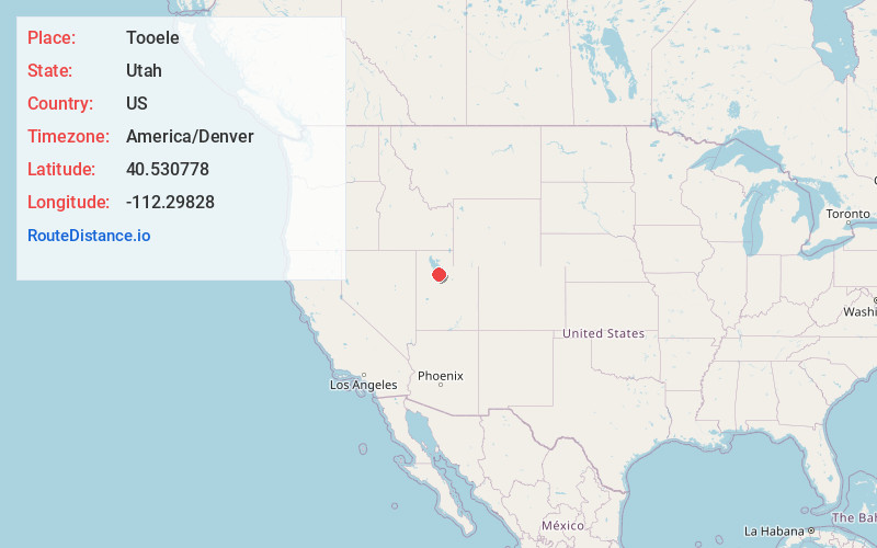
Full AddressTooele, UT 84074
-
Coordinates40.5307776, -112.29828
-
LocationTooele , Utah , US
-
TimezoneAmerica/Denver
-
Current Local Time11:01:26 AM America/DenverWednesday, June 18, 2025
-
Page Views0
About Tooele
Tooele is a city in Tooele County in the U.S. state of Utah. The population was 35,742 at the 2020 census. It is the county seat of Tooele County. Located approximately 40 minutes southwest of Salt Lake City, Tooele is known for Tooele Army Depot, for its views of the nearby Oquirrh Mountains and the Great Salt Lake.


Nearby Places
Found 10 places within 50 miles

Herriman
14.0 mi
22.5 km
Herriman, UT
Get directions

Kearns
18.2 mi
29.3 km
Kearns, UT 84118
Get directions

Riverton
18.9 mi
30.4 km
Riverton, UT
Get directions

South Jordan
19.5 mi
31.4 km
South Jordan, UT
Get directions

West Jordan
19.6 mi
31.5 km
West Jordan, UT
Get directions

Taylorsville
19.8 mi
31.9 km
Taylorsville, UT
Get directions

Eagle Mountain
21.4 mi
34.4 km
Eagle Mountain, UT
Get directions

Draper
22.8 mi
36.7 km
Draper, UT
Get directions

Murray
23.5 mi
37.8 km
Murray, UT
Get directions

Sandy
24.2 mi
38.9 km
Sandy, UT
Get directions
Location Links
Local Weather
Weather Information
Coming soon!
Location Map
Static map view of Tooele, Utah
Browse Places by Distance
Places within specific distances from Tooele
Short Distances
Long Distances
Click any distance to see all places within that range from Tooele. Distances shown in miles (1 mile ≈ 1.61 kilometers).