Distance to Topping, Virginia

Calculating Your Route
Just a moment while we process your request...
Location Information
-
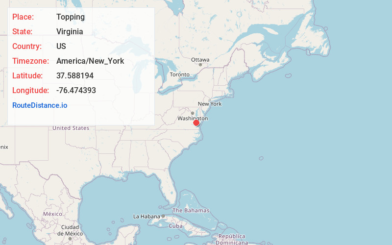
Full AddressTopping, VA 23169
-
Coordinates37.5881938, -76.4743934
-
LocationTopping , Virginia , US
-
TimezoneAmerica/New_York
-
Current Local Time8:43:57 PM America/New_YorkThursday, June 19, 2025
-
Page Views0
About Topping
Topping is an unincorporated community in Middlesex County, Virginia, United States. Topping is located on Virginia State Route 3 6.75 miles east of Saluda. Topping has a post office with ZIP code 23169.
Nearby Places
Found 10 places within 50 miles

Harmony Village
0.9 mi
1.4 km
Harmony Village, VA 23092
Get directions
Syringa
1.2 mi
1.9 km
Syringa, VA 23169
Get directions
Regent
1.8 mi
2.9 km
Regent, VA 23169
Get directions
Locklies
2.0 mi
3.2 km
Locklies, VA 23169
Get directions
Locust Hill
2.1 mi
3.4 km
Locust Hill, VA 23092
Get directions
Healys
2.3 mi
3.7 km
Healys, VA 23092
Get directions
Wake
2.8 mi
4.5 km
Wake, VA 23176
Get directions

Middlesex County
3.0 mi
4.8 km
Middlesex County, VA
Get directions
Piankatank Shores
3.2 mi
5.1 km
Piankatank Shores, VA 23071
Get directions
Christchurch
3.5 mi
5.6 km
Christchurch, VA 23092
Get directions
Location Links
Local Weather
Weather Information
Coming soon!
Location Map
Static map view of Topping, Virginia
Browse Places by Distance
Places within specific distances from Topping
Short Distances
Long Distances
Click any distance to see all places within that range from Topping. Distances shown in miles (1 mile ≈ 1.61 kilometers).