Distance to Topton, North Carolina

Calculating Your Route
Just a moment while we process your request...
Location Information
-
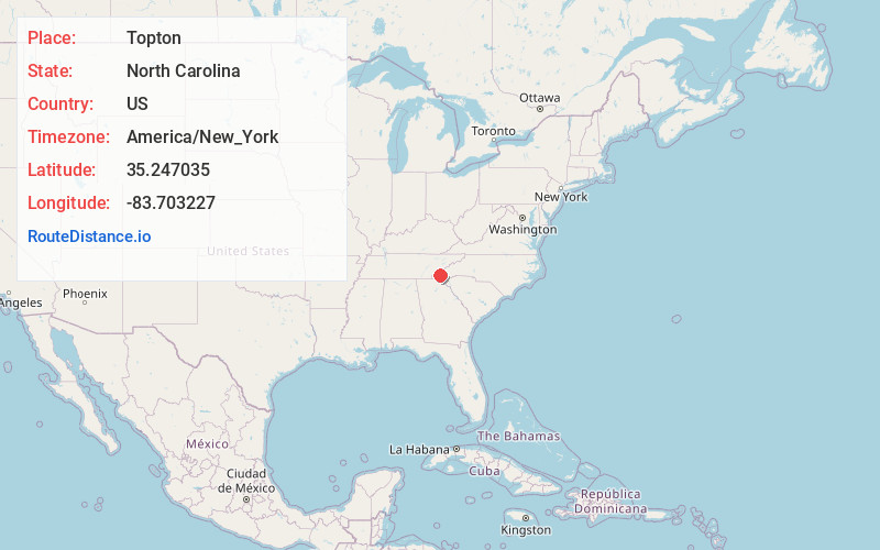
Full AddressTopton, NC 28901
-
Coordinates35.2470348, -83.7032269
-
LocationTopton , North Carolina , US
-
TimezoneAmerica/New_York
-
Current Local Time4:43:38 PM America/New_YorkFriday, May 30, 2025
-
Page Views0
About Topton
Topton is an unincorporated community in Cherokee County, North Carolina, United States. Topton is located on U.S. Route 19, U.S. Route 74, and U.S. Route 129, 7.5 miles east-northeast of Andrews.


Nearby Places
Found 10 places within 50 miles

Beechertown
2.2 mi
3.5 km
Beechertown, NC 28781
Get directions
Tulula
3.2 mi
5.1 km
Tulula, NC 28771
Get directions
Rhodo
3.4 mi
5.5 km
Rhodo, NC 28901
Get directions

Nantahala
3.5 mi
5.6 km
Nantahala, NC 28713
Get directions

Ledbetter Creek
3.9 mi
6.3 km
Ledbetter Creek, North Carolina 28713
Get directions
Sweetgum
4.9 mi
7.9 km
Sweetgum, NC 28771
Get directions
Aquone
5.1 mi
8.2 km
Aquone, NC 28781
Get directions
Briertown
5.2 mi
8.4 km
Briertown, NC 28781
Get directions
Kyle
5.3 mi
8.5 km
Kyle, NC 28781
Get directions
Hewitt
5.3 mi
8.5 km
Hewitt, NC 28713
Get directions
Location Links
Local Weather
Weather Information
Coming soon!
Location Map
Static map view of Topton, North Carolina
Browse Places by Distance
Places within specific distances from Topton
Short Distances
Long Distances
Click any distance to see all places within that range from Topton. Distances shown in miles (1 mile ≈ 1.61 kilometers).