Distance to Totavi, New Mexico

Calculating Your Route
Just a moment while we process your request...
Location Information
-
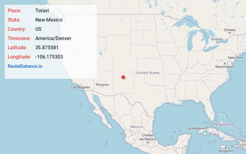
Full AddressTotavi, NM 87506
-
Coordinates35.8755806, -106.1753029
-
LocationNew Mexico , US
-
TimezoneAmerica/Denver
-
Current Local Time4:37:10 AM America/DenverSaturday, June 21, 2025
-
Page Views0
Nearby Places
Found 10 places within 50 miles

Buckman
3.2 mi
5.1 km
Buckman, NM 87544
Get directions

San Ildefonso Pueblo
3.4 mi
5.5 km
San Ildefonso Pueblo, NM 87506
Get directions

White Rock
3.7 mi
6.0 km
White Rock, NM 87547
Get directions

El Rancho
5.4 mi
8.7 km
El Rancho, NM 87506
Get directions

Los Alamos
7.2 mi
11.6 km
Los Alamos, NM 87544
Get directions

Jaconita
8.3 mi
13.4 km
Jaconita, NM 87506
Get directions
Frijoles
8.6 mi
13.8 km
Frijoles, NM 87547
Get directions

Pojoaque
8.6 mi
13.8 km
Pojoaque, NM 87506
Get directions
La Mesilla Ditch
8.8 mi
14.2 km
La Mesilla Ditch, New Mexico
Get directions

Cuyamungue
9.3 mi
15.0 km
Cuyamungue, NM 87506
Get directions
Location Links
Local Weather
Weather Information
Coming soon!
Location Map
Static map view of Totavi, New Mexico
Browse Places by Distance
Places within specific distances from Totavi
Short Distances
Long Distances
Click any distance to see all places within that range from Totavi. Distances shown in miles (1 mile ≈ 1.61 kilometers).