Distance to Totowa, New Jersey

Calculating Your Route
Just a moment while we process your request...
Location Information
-
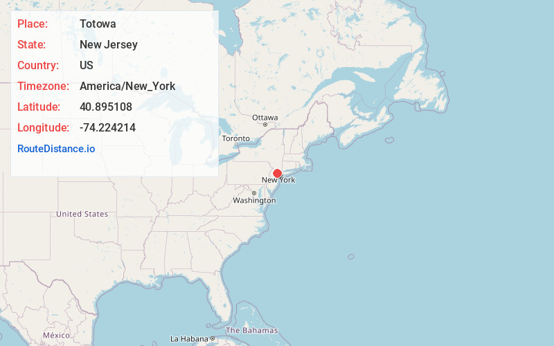
Full AddressTotowa, NJ
-
Coordinates40.8951079, -74.2242141
-
LocationTotowa , New Jersey , US
-
TimezoneAmerica/New_York
-
Current Local Time4:08:41 AM America/New_YorkWednesday, June 18, 2025
-
Website
-
Page Views0
About Totowa
Totowa is a borough in Passaic County, in the U.S. state of New Jersey. As of the 2020 United States census, the borough's population was 11,065, an increase of 261 from the 2010 census count of 10,804, which in turn reflected an increase of 912 from the 9,892 counted in the 2000 census.


Nearby Places
Found 10 places within 50 miles

Little Falls Township
1.0 mi
1.6 km
Little Falls Township, NJ
Get directions

Woodland Park
1.9 mi
3.1 km
Woodland Park, NJ
Get directions

Cedar Grove
2.8 mi
4.5 km
Cedar Grove, NJ
Get directions

Paterson
3.1 mi
5.0 km
Paterson, NJ
Get directions

Clifton
3.9 mi
6.3 km
Clifton, NJ
Get directions

Wayne
4.5 mi
7.2 km
Wayne, NJ
Get directions

Verona
4.5 mi
7.2 km
Verona, NJ
Get directions

Montclair
5.4 mi
8.7 km
Montclair, NJ
Get directions

Fair Lawn
5.5 mi
8.9 km
Fair Lawn, NJ
Get directions

Passaic
5.6 mi
9.0 km
Passaic, NJ
Get directions
Location Links
Local Weather
Weather Information
Coming soon!
Location Map
Static map view of Totowa, New Jersey
Browse Places by Distance
Places within specific distances from Totowa
Short Distances
Long Distances
Click any distance to see all places within that range from Totowa. Distances shown in miles (1 mile ≈ 1.61 kilometers).