Distance to Tottys Bend, Tennessee

Calculating Your Route
Just a moment while we process your request...
Location Information
-
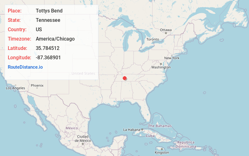
Full AddressTottys Bend, TN 38454
-
Coordinates35.784512, -87.3689012
-
LocationTennessee , US
-
TimezoneAmerica/Chicago
-
Current Local Time1:57:31 PM America/ChicagoFriday, June 20, 2025
-
Page Views0
Nearby Places
Found 10 places within 50 miles

Centerville
5.5 mi
8.9 km
Centerville, TN
Get directions

Johnsons Mill
7.8 mi
12.6 km
Johnsons Mill, TN 38476
Get directions
Wrigley
8.1 mi
13.0 km
Wrigley, TN 37098
Get directions

Lyles
9.5 mi
15.3 km
Lyles, TN 37098
Get directions
Bon Aqua Junction
10.4 mi
16.7 km
Bon Aqua Junction, TN 37098
Get directions
Pinewood
10.4 mi
16.7 km
Pinewood, TN 37137
Get directions
Aetna
11.8 mi
19.0 km
Aetna, TN 37033
Get directions
Arkland
12.1 mi
19.5 km
Arkland, TN 38487
Get directions
Craigfield
13.5 mi
21.7 km
Craigfield, TN 37025
Get directions
Whitfield
14.0 mi
22.5 km
Whitfield, TN 37033
Get directions
Location Links
Local Weather
Weather Information
Coming soon!
Location Map
Static map view of Tottys Bend, Tennessee
Browse Places by Distance
Places within specific distances from Tottys Bend
Short Distances
Long Distances
Click any distance to see all places within that range from Tottys Bend. Distances shown in miles (1 mile ≈ 1.61 kilometers).