Distance to Towamensing Township, Pennsylvania

Calculating Your Route
Just a moment while we process your request...
Location Information
-
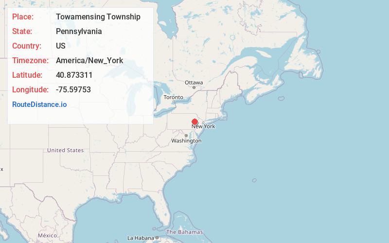
Full AddressTowamensing Township, PA
-
Coordinates40.873311, -75.5975296
-
LocationTowamensing Township , Pennsylvania , US
-
TimezoneAmerica/New_York
-
Current Local Time3:37:02 PM America/New_YorkWednesday, July 2, 2025
-
Page Views0
About Towamensing Township
Towamensing Township is a lightly populated rural township in eastern Carbon County, Pennsylvania. It is part of Northeastern Pennsylvania.
The Lenape Indian tribe's name is eponymous and was once applied by the natives to the whole region of Carbon County and bits of the Poconos to the north and to Schuylkill County.
Nearby Places
Found 10 places within 50 miles

Beltzville Lake
1.4 mi
2.3 km
Beltzville Lake, Pennsylvania
Get directions

Stemlersville
1.9 mi
3.1 km
Stemlersville, Towamensing Township, PA 18071
Get directions
Walcksville
3.1 mi
5.0 km
Walcksville, Franklin Township, PA 18235
Get directions
Big Creek
3.3 mi
5.3 km
Big Creek, Franklin Township, PA 18235
Get directions
Jonesville
3.3 mi
5.3 km
Jonesville, PA 18071
Get directions

Franklin Township
3.4 mi
5.5 km
Franklin Township, PA
Get directions

Carbon County
4.2 mi
6.8 km
Carbon County, PA
Get directions

Lower Towamensing Township
4.2 mi
6.8 km
Lower Towamensing Township, PA
Get directions
Aquashicola
4.3 mi
6.9 km
Aquashicola, PA 18071
Get directions
Harrity
4.3 mi
6.9 km
Harrity, Franklin Township, PA 18235
Get directions
Location Links
Local Weather
Weather Information
Coming soon!
Location Map
Static map view of Towamensing Township, Pennsylvania
Browse Places by Distance
Places within specific distances from Towamensing Township
Short Distances
Long Distances
Click any distance to see all places within that range from Towamensing Township. Distances shown in miles (1 mile ≈ 1.61 kilometers).