Distance to Towanda, Kansas

Calculating Your Route
Just a moment while we process your request...
Location Information
-
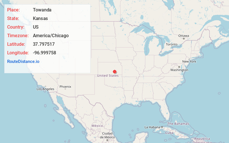
Full AddressTowanda, KS 67144
-
Coordinates37.797517, -96.999758
-
LocationTowanda , Kansas , US
-
TimezoneAmerica/Chicago
-
Current Local Time8:21:22 AM America/ChicagoMonday, May 19, 2025
-
Website
-
Page Views0
About Towanda
Towanda is a city in Butler County, Kansas, United States. As of the 2020 census, the population of the city was 1,447.
Nearby Places
Found 10 places within 50 miles

El Dorado
7.6 mi
12.2 km
El Dorado, KS 67042
Get directions

Augusta
7.8 mi
12.6 km
Augusta, KS 67010
Get directions

Andover
9.4 mi
15.1 km
Andover, KS
Get directions

Bel Aire
14.5 mi
23.3 km
Bel Aire, KS
Get directions

Kechi
15.4 mi
24.8 km
Kechi, KS
Get directions

Park City
17.3 mi
27.8 km
Park City, KS
Get directions

Rose Hill
18.1 mi
29.1 km
Rose Hill, KS 67133
Get directions

Wichita
19.8 mi
31.9 km
Wichita, KS
Get directions

Valley Center
20.5 mi
33.0 km
Valley Center, KS
Get directions

Derby
22.7 mi
36.5 km
Derby, KS 67037
Get directions
Location Links
Local Weather
Weather Information
Coming soon!
Location Map
Static map view of Towanda, Kansas
Browse Places by Distance
Places within specific distances from Towanda
Short Distances
Long Distances
Click any distance to see all places within that range from Towanda. Distances shown in miles (1 mile ≈ 1.61 kilometers).