Distance to Tower Fall, Wyoming

Calculating Your Route
Just a moment while we process your request...
Location Information
-
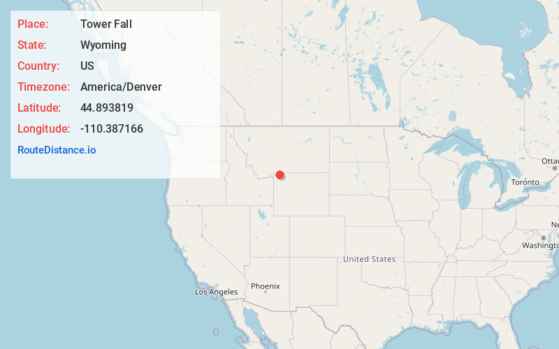
Full AddressTower Fall, Wyoming 82190
-
Coordinates44.8938189, -110.3871663
-
LocationWyoming , US
-
TimezoneAmerica/Denver
-
Current Local Time3:55:26 AM America/DenverWednesday, June 4, 2025
-
Page Views0


Nearby Places
Found 10 places within 50 miles

Devils Den
0.1 mi
0.2 km
Devils Den, WY 82190
Get directions

Bannock Ford
0.5 mi
0.8 km
Bannock Ford, WY 82190
Get directions

Tower Junction
2.1 mi
3.4 km
Tower Junction, WY 82190
Get directions
Buffalo Ford
2.2 mi
3.5 km
Buffalo Ford, WY 82190
Get directions

Lamar River
3.1 mi
5.0 km
Lamar River, Wyoming 82190
Get directions

Yanceys
3.5 mi
5.6 km
Yanceys, WY 82190
Get directions
Fossil Forest
7.8 mi
12.6 km
Fossil Forest, WY 82190
Get directions
Cottonwood Creek
9.8 mi
15.8 km
Cottonwood Creek, Montana 59030
Get directions
Canyon Junction
12.1 mi
19.5 km
Canyon Junction, WY 82190
Get directions

Lookout Point
12.7 mi
20.4 km
Lookout Point, Wyoming 82190
Get directions
Location Links
Local Weather
Weather Information
Coming soon!
Location Map
Static map view of Tower Fall, Wyoming
Browse Places by Distance
Places within specific distances from Tower Fall
Short Distances
Long Distances
Click any distance to see all places within that range from Tower Fall. Distances shown in miles (1 mile ≈ 1.61 kilometers).