Distance to Toyahvale, Texas

Calculating Your Route
Just a moment while we process your request...
Location Information
-
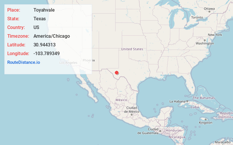
Full AddressToyahvale, TX 79718
-
Coordinates30.9443129, -103.7893488
-
LocationToyahvale , Texas , US
-
TimezoneAmerica/Chicago
-
Current Local Time12:20:11 AM America/ChicagoSunday, June 1, 2025
-
Page Views0
About Toyahvale
Toyahvale is an unincorporated community in southern Reeves County, Texas, United States. It lies along State Highway 17 and FM 3078, south of the city of Pecos, the county seat of Reeves County.
Nearby Places
Found 10 places within 50 miles

Balmorhea
3.8 mi
6.1 km
Balmorhea, TX 79718
Get directions

Saragosa
9.7 mi
15.6 km
Saragosa, TX 79780
Get directions
Hoban
21.4 mi
34.4 km
Hoban, TX 79772
Get directions

Fort Davis
25.4 mi
40.9 km
Fort Davis, TX 79734
Get directions

Toyah
25.6 mi
41.2 km
Toyah, TX
Get directions
Hermosa
31.1 mi
50.1 km
Hermosa, TX 79772
Get directions

Alpine
41.3 mi
66.5 km
Alpine, TX
Get directions

Barstow
42.7 mi
68.7 km
Barstow, TX 79719
Get directions

Marfa
46.0 mi
74.0 km
Marfa, TX 79843
Get directions

Coyanosa
47.6 mi
76.6 km
Coyanosa, TX 79730
Get directions
Location Links
Local Weather
Weather Information
Coming soon!
Location Map
Static map view of Toyahvale, Texas
Browse Places by Distance
Places within specific distances from Toyahvale
Short Distances
Long Distances
Click any distance to see all places within that range from Toyahvale. Distances shown in miles (1 mile ≈ 1.61 kilometers).