Distance to Tracy, Iowa

Calculating Your Route
Just a moment while we process your request...
Location Information
-
Full AddressTracy, IA 50256
-
Coordinates41.2758813, -92.8751842
-
LocationTracy , Iowa , US
-
TimezoneAmerica/Chicago
-
Current Local Time6:21:46 AM America/ChicagoSunday, June 22, 2025
-
Page Views0
About Tracy
Tracy is an unincorporated community in eastern Marion County, Iowa, United States. It lies along local roads east of the city of Knoxville, the county seat of Marion County. Its elevation is 784 feet. Although Tracy is unincorporated, it has a post office with the ZIP code of 50256, which opened on 31 January 1876.
Nearby Places
Found 10 places within 50 miles

Olivet
3.5 mi
5.6 km
Olivet, IA 50143
Get directions
Harvey
3.8 mi
6.1 km
Harvey, IA 50119
Get directions

Bussey
4.8 mi
7.7 km
Bussey, IA 50044
Get directions
Leighton
6.2 mi
10.0 km
Leighton, IA 50143
Get directions

Pershing
6.9 mi
11.1 km
Pershing, IA 50138
Get directions
Hamilton
7.5 mi
12.1 km
Hamilton, IA
Get directions
Marysville
7.6 mi
12.2 km
Marysville, IA
Get directions
Evans
7.9 mi
12.7 km
Evans, IA 52577
Get directions
Attica
8.0 mi
12.9 km
Attica, IA 50044
Get directions
Flagler
8.3 mi
13.4 km
Flagler, IA 50138
Get directions
Location Links
Local Weather
Weather Information
Coming soon!
Location Map
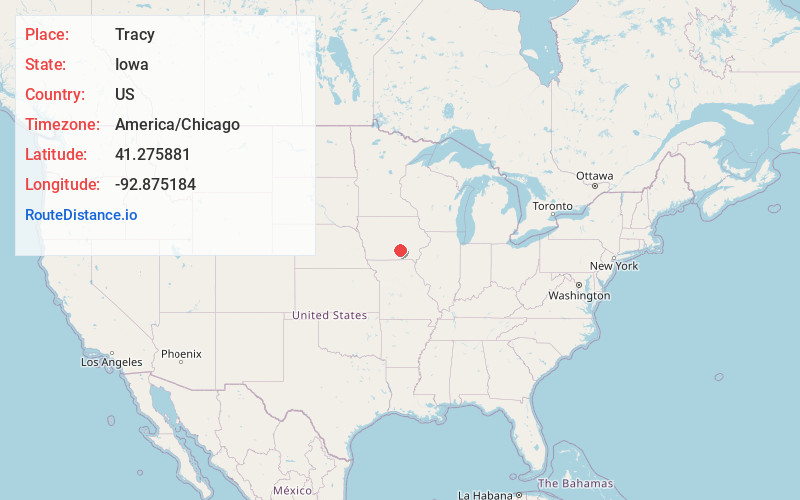
Static map view of Tracy, Iowa
Browse Places by Distance
Places within specific distances from Tracy
Short Distances
Long Distances
Click any distance to see all places within that range from Tracy. Distances shown in miles (1 mile ≈ 1.61 kilometers).