Distance to Tramway, North Carolina

Calculating Your Route
Just a moment while we process your request...
Location Information
-
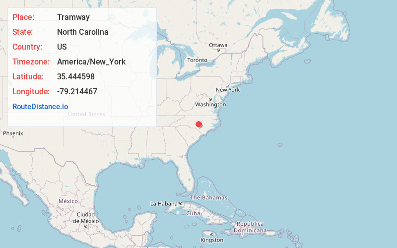
Full AddressTramway, NC 27330
-
Coordinates35.4445983, -79.214467
-
LocationTramway , North Carolina , US
-
TimezoneAmerica/New_York
-
Current Local Time8:28:05 PM America/New_YorkSunday, June 22, 2025
-
Page Views0
About Tramway
Tramway is an area of Lee County, North Carolina, United States which politically forms part of Sanford. It is located on U.S. 1/15/501, north of the road's intersection with North Carolina Highway 78. Its elevation is 499 feet or 152 meters.
Nearby Places
Found 10 places within 50 miles

Sanford
3.1 mi
5.0 km
Sanford, NC
Get directions

White Hill
5.7 mi
9.2 km
White Hill, NC 27332
Get directions
Colon
6.7 mi
10.8 km
Colon, NC 27330
Get directions
Swann
7.4 mi
11.9 km
Swann, NC 27332
Get directions
Murchisontown
7.7 mi
12.4 km
Murchisontown, NC 27332
Get directions
Cumnock
7.7 mi
12.4 km
Cumnock, NC 27330
Get directions

Olivia
8.3 mi
13.4 km
Olivia, NC 27332
Get directions

Cameron
8.5 mi
13.7 km
Cameron, NC 28326
Get directions

Gulf
8.8 mi
14.2 km
Gulf, NC
Get directions
Osgood
9.0 mi
14.5 km
Osgood, NC 27330
Get directions
Location Links
Local Weather
Weather Information
Coming soon!
Location Map
Static map view of Tramway, North Carolina
Browse Places by Distance
Places within specific distances from Tramway
Short Distances
Long Distances
Click any distance to see all places within that range from Tramway. Distances shown in miles (1 mile ≈ 1.61 kilometers).