Distance to Truchas, New Mexico

Calculating Your Route
Just a moment while we process your request...
Location Information
-
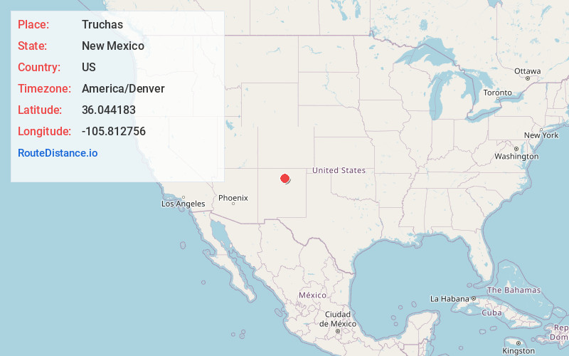
Full AddressTruchas, NM 87578
-
Coordinates36.0441834, -105.8127561
-
LocationTruchas , New Mexico , US
-
TimezoneAmerica/Denver
-
Current Local Time9:46:25 AM America/DenverFriday, June 20, 2025
-
Page Views0
About Truchas
Truchas is a census-designated place in Rio Arriba County, New Mexico, United States. Located along the scenic High Road to Taos, it is halfway between Santa Fe in the south, and Taos to the north.
Truchas has the ZIP code 87578.


Nearby Places
Found 10 places within 50 miles

Chimayo
8.0 mi
12.9 km
Chimayo, NM
Get directions

Chamisal
9.4 mi
15.1 km
Chamisal, NM
Get directions

La Puebla
10.9 mi
17.5 km
La Puebla, NM
Get directions
Rio Lucio
11.5 mi
18.5 km
Rio Lucio, NM 87553
Get directions
Cuartelez
11.9 mi
19.2 km
Cuartelez, NM 87567
Get directions

East Pecos Baldy
12.7 mi
20.4 km
East Pecos Baldy, New Mexico 87742
Get directions
El Valle De Arroyo Seco
13.4 mi
21.6 km
El Valle De Arroyo Seco, NM
Get directions
Los Luceros
13.8 mi
22.2 km
Los Luceros, NM 87566
Get directions

Ohkay Owingeh
14.4 mi
23.2 km
Ohkay Owingeh, NM
Get directions
La Mesilla Ditch
15.0 mi
24.1 km
La Mesilla Ditch, New Mexico
Get directions
Location Links
Local Weather
Weather Information
Coming soon!
Location Map
Static map view of Truchas, New Mexico
Browse Places by Distance
Places within specific distances from Truchas
Short Distances
Long Distances
Click any distance to see all places within that range from Truchas. Distances shown in miles (1 mile ≈ 1.61 kilometers).