Distance to Truxno, Louisiana

Calculating Your Route
Just a moment while we process your request...
Location Information
-
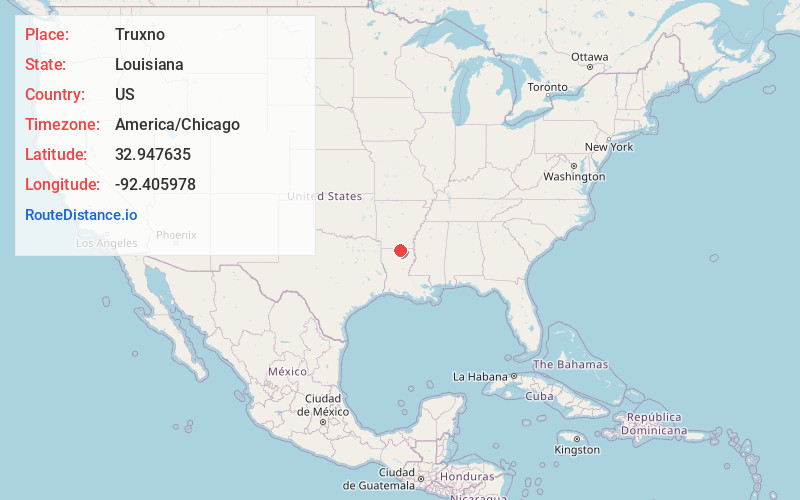
Full AddressTruxno, LA 71260
-
Coordinates32.9476345, -92.4059776
-
LocationLouisiana , US
-
TimezoneAmerica/Chicago
-
Current Local Time4:15:59 PM America/ChicagoFriday, June 20, 2025
-
Page Views0
About Truxno
Truxno is a village in Union Parish, Louisiana, United States. It sits at an elevation of 223 feet. The community sits at the intersection of Louisiana Highway 549 and Parish Road 6640. Bird's Chapel Cemetery lies approximately one mile to the northeast along Bird Chapel Road.
Nearby Places
Found 10 places within 50 miles

Oakland
4.6 mi
7.4 km
Oakland, LA 71260
Get directions
Aurelle
6.9 mi
11.1 km
Aurelle, AR 71765
Get directions
Mt Union
8.7 mi
14.0 km
Mt Union, LA 71277
Get directions
Canbeal
9.4 mi
15.1 km
Canbeal, LA 71241
Get directions
Marion
10.0 mi
16.1 km
Marion, LA 71260
Get directions
Lockhart
11.1 mi
17.9 km
Lockhart, LA 71277
Get directions
Spearsville
11.6 mi
18.7 km
Spearsville, LA 71277
Get directions
Strong
11.6 mi
18.7 km
Strong, AR
Get directions

Farmerville
12.0 mi
19.3 km
Farmerville, LA 71241
Get directions
Old Lapile
12.4 mi
20.0 km
Old Lapile, AR 71747
Get directions
Location Links
Local Weather
Weather Information
Coming soon!
Location Map
Static map view of Truxno, Louisiana
Browse Places by Distance
Places within specific distances from Truxno
Short Distances
Long Distances
Click any distance to see all places within that range from Truxno. Distances shown in miles (1 mile ≈ 1.61 kilometers).