Distance to Tsaile, Arizona

Calculating Your Route
Just a moment while we process your request...
Location Information
-
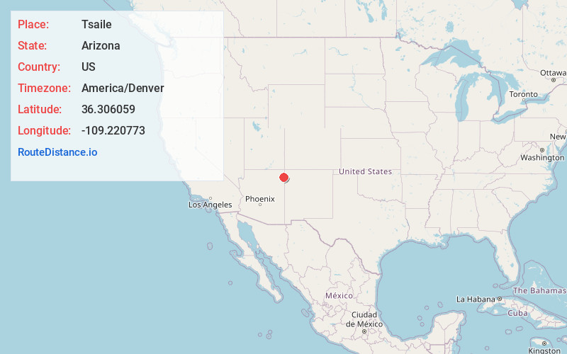
Full AddressTsaile, AZ
-
Coordinates36.3060588, -109.2207725
-
LocationTsaile , Arizona , US
-
TimezoneAmerica/Denver
-
Current Local Time8:52:13 PM America/DenverSunday, June 22, 2025
-
Page Views0
About Tsaile
Tsaile is a census-designated place in Apache County, Arizona, United States, on the Navajo Nation. The population was 1,205 at the 2010 census.
Tsaile is the home of the main campus of Diné College, a tribally controlled community college. It has seven other campuses across the Navajo Nation.


Nearby Places
Found 5 places within 50 miles

Lukachukai
7.7 mi
12.4 km
Lukachukai, AZ 86507
Get directions

Chinle
21.3 mi
34.3 km
Chinle, AZ 86503
Get directions

Fort Defiance
39.6 mi
63.7 km
Fort Defiance, AZ 86504
Get directions

Window Rock
44.2 mi
71.1 km
Window Rock, AZ
Get directions

Shiprock
44.4 mi
71.5 km
Shiprock, NM 87420
Get directions
Location Links
Local Weather
Weather Information
Coming soon!
Location Map
Static map view of Tsaile, Arizona
Browse Places by Distance
Places within specific distances from Tsaile
Short Distances
Long Distances
Click any distance to see all places within that range from Tsaile. Distances shown in miles (1 mile ≈ 1.61 kilometers).