Distance to Tschetter Colony, South Dakota

Calculating Your Route
Just a moment while we process your request...
Location Information
-
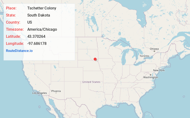
Full AddressTschetter Colony, SD 57052
-
Coordinates43.3702642, -97.6861778
-
LocationTschetter Colony , South Dakota , US
-
TimezoneAmerica/Chicago
-
Current Local Time5:50:48 PM America/ChicagoFriday, June 20, 2025
-
Page Views0
About Tschetter Colony
Tschetter Colony is a Hutterite colony and census-designated place in Hutchinson County, South Dakota, United States. The population was 165 at the 2020 census. It was first listed as a CDP prior to the 2020 census.
It is in the central part of the county, on the southwest side of the James River.
Nearby Places
Found 10 places within 50 miles

Menno
10.5 mi
16.9 km
Menno, SD 57045
Get directions

Freeman
12.6 mi
20.3 km
Freeman, SD 57029
Get directions

Parkston
15.1 mi
24.3 km
Parkston, SD 57366
Get directions

Scotland
15.3 mi
24.6 km
Scotland, SD 57059
Get directions
Bridgewater
15.4 mi
24.8 km
Bridgewater, SD 57319
Get directions

Emery
16.3 mi
26.2 km
Emery, SD 57332
Get directions

Dimock
16.7 mi
26.9 km
Dimock, SD 57331
Get directions

Tripp
17.3 mi
27.8 km
Tripp, SD 57376
Get directions

Ethan
19.4 mi
31.2 km
Ethan, SD 57334
Get directions

Alexandria
20.2 mi
32.5 km
Alexandria, SD 57311
Get directions
Location Links
Local Weather
Weather Information
Coming soon!
Location Map
Static map view of Tschetter Colony, South Dakota
Browse Places by Distance
Places within specific distances from Tschetter Colony
Short Distances
Long Distances
Click any distance to see all places within that range from Tschetter Colony. Distances shown in miles (1 mile ≈ 1.61 kilometers).