Distance to Turkeyfoot, North Carolina

Calculating Your Route
Just a moment while we process your request...
Location Information
-
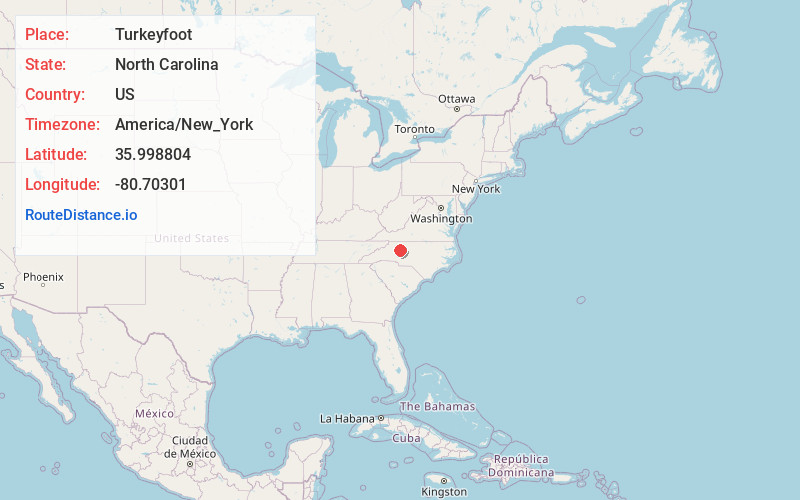
Full AddressTurkeyfoot, NC 28634
-
Coordinates35.9988041, -80.70301
-
LocationTurkeyfoot , North Carolina , US
-
TimezoneAmerica/New_York
-
Current Local Time6:40:48 PM America/New_YorkWednesday, June 4, 2025
-
Page Views0
About Turkeyfoot
Turkeyfoot is an unincorporated community in North Carolina, United States. It is located on the Davie County and Iredell County line.
Nearby Places
Found 10 places within 50 miles

Sheffield
2.6 mi
4.2 km
Sheffield, NC 28634
Get directions
Houstonville
3.5 mi
5.6 km
Houstonville, NC 28634
Get directions
Lone Hickory
4.2 mi
6.8 km
Lone Hickory, NC 27055
Get directions
Footville
4.3 mi
6.9 km
Footville, NC 27055
Get directions
Harmony
4.9 mi
7.9 km
Harmony, NC 28634
Get directions
Ijames Crossroads
5.5 mi
8.9 km
Ijames Crossroads, NC 27028
Get directions
Eagle Mills
5.7 mi
9.2 km
Eagle Mills, NC 27020
Get directions
Calahaln
5.9 mi
9.5 km
Calahaln, NC 27028
Get directions
Courtney
6.3 mi
10.1 km
Courtney, NC 27055
Get directions
Cana
7.2 mi
11.6 km
Cana, NC 27028
Get directions
Location Links
Local Weather
Weather Information
Coming soon!
Location Map
Static map view of Turkeyfoot, North Carolina
Browse Places by Distance
Places within specific distances from Turkeyfoot
Short Distances
Long Distances
Click any distance to see all places within that range from Turkeyfoot. Distances shown in miles (1 mile ≈ 1.61 kilometers).