Distance to Turley, Missouri

Calculating Your Route
Just a moment while we process your request...
Location Information
-
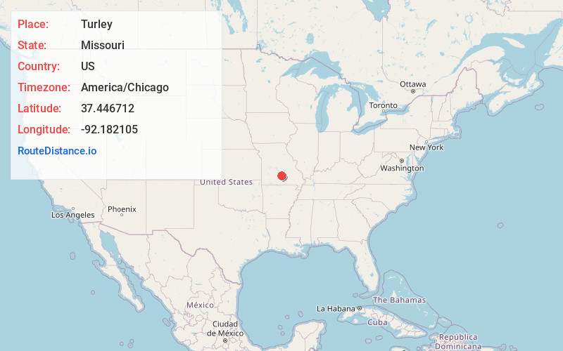
Full AddressTurley, Upton Township, MO 65552
-
Coordinates37.4467124, -92.1821054
-
LocationUpton Township , Missouri , US
-
TimezoneAmerica/Chicago
-
Current Local Time6:27:32 PM America/ChicagoWednesday, May 21, 2025
-
Page Views0
Nearby Places
Found 10 places within 50 miles

Plato
4.6 mi
7.4 km
Plato, MO 65552
Get directions

Plum Valley
8.1 mi
13.0 km
Plum Valley, Piney Township, MO 65444
Get directions
Dykes
8.6 mi
13.8 km
Dykes, MO 65444
Get directions
Huggins
8.8 mi
14.2 km
Huggins, MO 65484
Get directions
Hazleton
10.2 mi
16.4 km
Hazleton, Boone Township, MO 65542
Get directions
Bendavis
10.3 mi
16.6 km
Bendavis, MO 65689
Get directions
Green Mountain
11.0 mi
17.7 km
Green Mountain, Van Buren Township, MO 65711
Get directions
Slabtown
12.0 mi
19.3 km
Slabtown, Boone Township, MO 65542
Get directions
Grimes Mill
14.4 mi
23.2 km
Grimes Mill, Van Buren Township, MO 65667
Get directions
Dawson
14.8 mi
23.8 km
Dawson, MO 65711
Get directions
Location Links
Local Weather
Weather Information
Coming soon!
Location Map
Static map view of Turley, Missouri
Browse Places by Distance
Places within specific distances from Turley
Short Distances
Long Distances
Click any distance to see all places within that range from Turley. Distances shown in miles (1 mile ≈ 1.61 kilometers).