Distance to Turnip Hole, Pennsylvania

Calculating Your Route
Just a moment while we process your request...
Location Information
-
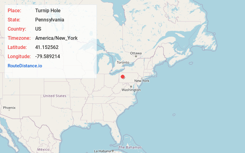
Full AddressTurnip Hole, Licking Township, PA 16373
-
Coordinates41.1525621, -79.5892141
-
LocationLicking Township , Pennsylvania , US
-
TimezoneAmerica/New_York
-
Current Local Time6:44:53 PM America/New_YorkSunday, June 1, 2025
-
Page Views0
About Turnip Hole
Turnip Hole is an unincorporated community in Clarion County, Pennsylvania, United States.
A post office called Turnip Hole was established in 1889, and remained in operation until it was discontinued in 1911. Turnip Hole has been noted for its colorful place name.
Nearby Places
Found 10 places within 50 miles

Stovers Mill
1.4 mi
2.3 km
Stovers Mill, Licking Township, PA 16373
Get directions
Callensburg
2.4 mi
3.9 km
Callensburg, PA 16049
Get directions

St Petersburg
3.4 mi
5.5 km
St Petersburg, PA
Get directions

Foxburg
4.8 mi
7.7 km
Foxburg, PA
Get directions
Hovey Township
5.2 mi
8.4 km
Hovey Township, PA 16049
Get directions
Lamartine
5.4 mi
8.7 km
Lamartine, PA 16232
Get directions
Sligo
6.0 mi
9.7 km
Sligo, PA 16255
Get directions

Parker
6.2 mi
10.0 km
Parker, PA 16049
Get directions

Knox
6.3 mi
10.1 km
Knox, PA 16232
Get directions

Emlenton
6.4 mi
10.3 km
Emlenton, PA 16373
Get directions
Location Links
Local Weather
Weather Information
Coming soon!
Location Map
Static map view of Turnip Hole, Pennsylvania
Browse Places by Distance
Places within specific distances from Turnip Hole
Short Distances
Long Distances
Click any distance to see all places within that range from Turnip Hole. Distances shown in miles (1 mile ≈ 1.61 kilometers).