Distance to Tuxedo, North Carolina

Calculating Your Route
Just a moment while we process your request...
Location Information
-
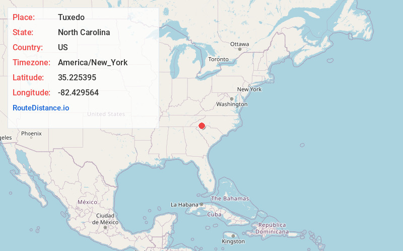
Full AddressTuxedo, NC 28790
-
Coordinates35.2253945, -82.4295635
-
LocationTuxedo , North Carolina , US
-
TimezoneAmerica/New_York
-
Current Local Time4:26:58 PM America/New_YorkTuesday, July 1, 2025
-
Page Views0
About Tuxedo
Tuxedo is an unincorporated community in Henderson County, North Carolina, United States, which was originally called Lakewood.


Nearby Places
Found 10 places within 50 miles

Buckeye Ford
3.1 mi
5.0 km
Buckeye Ford, NC 28731
Get directions

Flat Rock
3.2 mi
5.1 km
Flat Rock, NC
Get directions
Mountain Valley
3.3 mi
5.3 km
Mountain Valley, NC 28790
Get directions
Chestnut Springs
3.8 mi
6.1 km
Chestnut Springs, SC 29690
Get directions

Saluda
4.6 mi
7.4 km
Saluda, NC 28773
Get directions
Laurel Rock Acres
5.0 mi
8.0 km
Laurel Rock Acres, NC 28739
Get directions
Upward
5.5 mi
8.9 km
Upward, NC 28731
Get directions
Barker Heights
6.0 mi
9.7 km
Barker Heights, NC 28792
Get directions
Melrose
6.1 mi
9.8 km
Melrose, NC 28773
Get directions

Hendersonville
6.7 mi
10.8 km
Hendersonville, NC
Get directions
Location Links
Local Weather
Weather Information
Coming soon!
Location Map
Static map view of Tuxedo, North Carolina
Browse Places by Distance
Places within specific distances from Tuxedo
Short Distances
Long Distances
Click any distance to see all places within that range from Tuxedo. Distances shown in miles (1 mile ≈ 1.61 kilometers).