Distance to Tylertown, Mississippi

Calculating Your Route
Just a moment while we process your request...
Location Information
-
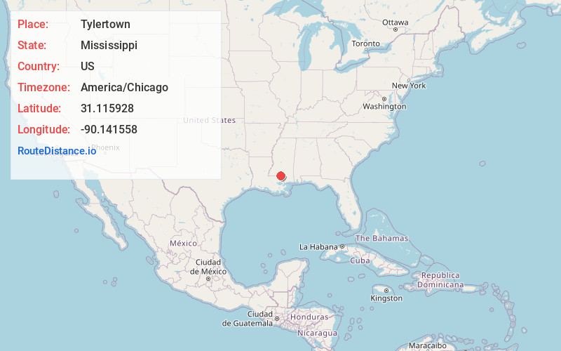
Full AddressTylertown, MS 39667
-
Coordinates31.1159284, -90.1415576
-
LocationTylertown , Mississippi , US
-
TimezoneAmerica/Chicago
-
Current Local Time12:54:06 AM America/ChicagoSunday, June 8, 2025
-
Page Views0
About Tylertown
Tylertown is a town in and the county seat of Walthall County, Mississippi, United States. Its population was 1,515 at the 2020 census. It is approximately fifty-five miles southwest from the Hattiesburg metropolitan area.

Nearby Places
Found 10 places within 50 miles

Franklinton
18.6 mi
29.9 km
Franklinton, LA 70438
Get directions

Magnolia
18.9 mi
30.4 km
Magnolia, MS
Get directions

Columbia
20.4 mi
32.8 km
Columbia, MS 39429
Get directions

McComb
20.4 mi
32.8 km
McComb, MS
Get directions

Summit
22.5 mi
36.2 km
Summit, MS
Get directions

Bogalusa
28.4 mi
45.7 km
Bogalusa, LA 70427
Get directions

Amite City
34.6 mi
55.7 km
Amite City, LA 70422
Get directions

Brookhaven
36.5 mi
58.7 km
Brookhaven, MS
Get directions

Poplarville
40.7 mi
65.5 km
Poplarville, MS 39470
Get directions
Natalbany
44.3 mi
71.3 km
Natalbany, LA
Get directions
Location Links
Local Weather
Weather Information
Coming soon!
Location Map
Static map view of Tylertown, Mississippi
Browse Places by Distance
Places within specific distances from Tylertown
Short Distances
Long Distances
Click any distance to see all places within that range from Tylertown. Distances shown in miles (1 mile ≈ 1.61 kilometers).