Distance to Tyrone, Kentucky

Calculating Your Route
Just a moment while we process your request...
Location Information
-
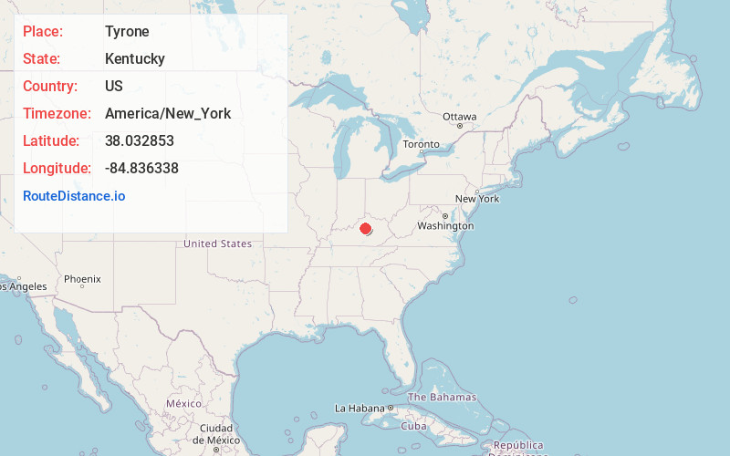
Full AddressTyrone, KY 40342
-
Coordinates38.032853, -84.8363379
-
LocationKentucky , US
-
TimezoneAmerica/New_York
-
Current Local Time2:14:13 PM America/New_YorkThursday, June 5, 2025
-
Page Views0
About Tyrone
Tyrone is a ghost town located in Anderson County, Kentucky, United States. It is located east of Lawrenceburg along the Kentucky River.
Nearby Places
Found 10 places within 50 miles

Milner
1.6 mi
2.6 km
Milner, KY 40383
Get directions

Lawrenceburg
3.3 mi
5.3 km
Lawrenceburg, KY 40342
Get directions

Ninevah
4.1 mi
6.6 km
Ninevah, KY 40342
Get directions
McBrayer
4.8 mi
7.7 km
McBrayer, KY 40342
Get directions

Versailles
5.9 mi
9.5 km
Versailles, KY 40383
Get directions
Nevin
6.5 mi
10.5 km
Nevin, KY 40342
Get directions
Alton Station
6.6 mi
10.6 km
Alton Station, KY 40342
Get directions
Alton
6.6 mi
10.6 km
Alton, KY 40342
Get directions
McKees Crossroads
6.9 mi
11.1 km
McKees Crossroads, KY 40383
Get directions
Millville
7.2 mi
11.6 km
Millville, KY 40601
Get directions
Location Links
Local Weather
Weather Information
Coming soon!
Location Map
Static map view of Tyrone, Kentucky
Browse Places by Distance
Places within specific distances from Tyrone
Short Distances
Long Distances
Click any distance to see all places within that range from Tyrone. Distances shown in miles (1 mile ≈ 1.61 kilometers).