Distance to Udall, Kansas

Calculating Your Route
Just a moment while we process your request...
Location Information
-
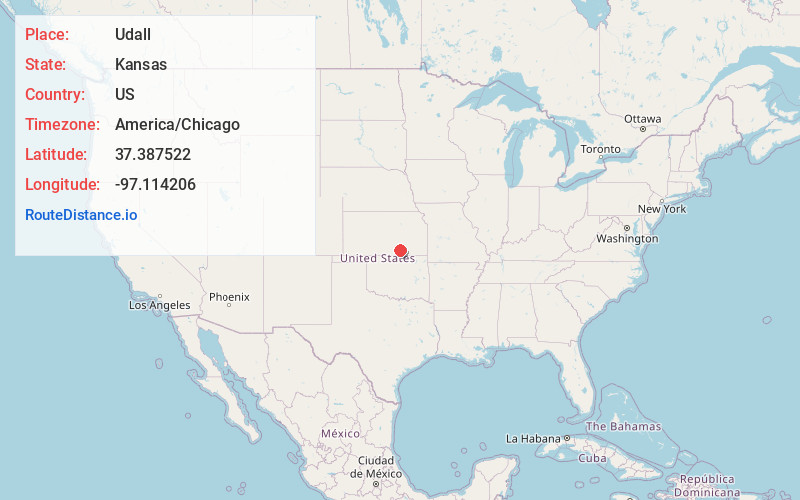
Full AddressUdall, KS 67146
-
Coordinates37.3875221, -97.1142063
-
LocationUdall , Kansas , US
-
TimezoneAmerica/Chicago
-
Current Local Time11:41:05 PM America/ChicagoFriday, June 6, 2025
-
Page Views0
About Udall
Udall is a city in Cowley County, Kansas, United States. As of the 2020 census, the population of the city was 661.
Nearby Places
Found 10 places within 50 miles

Oxford
8.4 mi
13.5 km
Oxford, KS 67119
Get directions

Belle Plaine
9.2 mi
14.8 km
Belle Plaine, KS 67013
Get directions

Mulvane
9.3 mi
15.0 km
Mulvane, KS
Get directions

Douglass
10.7 mi
17.2 km
Douglass, KS 67039
Get directions

Rose Hill
11.9 mi
19.2 km
Rose Hill, KS 67133
Get directions

Winfield
12.1 mi
19.5 km
Winfield, KS
Get directions

Derby
14.0 mi
22.5 km
Derby, KS 67037
Get directions

Wellington
16.5 mi
26.6 km
Wellington, KS
Get directions

Haysville
17.9 mi
28.8 km
Haysville, KS
Get directions

Augusta
22.0 mi
35.4 km
Augusta, KS 67010
Get directions
Location Links
Local Weather
Weather Information
Coming soon!
Location Map
Static map view of Udall, Kansas
Browse Places by Distance
Places within specific distances from Udall
Short Distances
Long Distances
Click any distance to see all places within that range from Udall. Distances shown in miles (1 mile ≈ 1.61 kilometers).