Distance to Umatilla, Florida

Calculating Your Route
Just a moment while we process your request...
Location Information
-
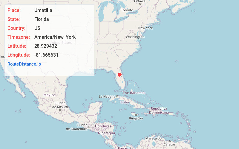
Full AddressUmatilla, FL
-
Coordinates28.9294316, -81.6656305
-
LocationUmatilla , Florida , US
-
TimezoneAmerica/New_York
-
Current Local Time5:30:31 AM America/New_YorkWednesday, June 18, 2025
-
Website
-
Page Views0
About Umatilla
Umatilla is a city in Lake County, Florida, United States. The population was 3,685 at the 2020 census. Umatilla is known as the Gateway to the Ocala National Forest, located in northern Lake County.


Nearby Places
Found 10 places within 50 miles

Eustis
5.4 mi
8.7 km
Eustis, FL
Get directions

Mt Dora
8.9 mi
14.3 km
Mt Dora, FL 32757
Get directions

Tavares
9.4 mi
15.1 km
Tavares, FL
Get directions

Tangerine
11.6 mi
18.7 km
Tangerine, FL 32757
Get directions

Mt Plymouth
11.6 mi
18.7 km
Mt Plymouth, FL 32776
Get directions

Leesburg
15.2 mi
24.5 km
Leesburg, FL
Get directions

Lady Lake
15.6 mi
25.1 km
Lady Lake, FL
Get directions

Apopka
18.2 mi
29.3 km
Apopka, FL
Get directions

The Villages
20.4 mi
32.8 km
The Villages, FL
Get directions

DeBary
20.8 mi
33.5 km
DeBary, FL 32713
Get directions
Location Links
Local Weather
Weather Information
Coming soon!
Location Map
Static map view of Umatilla, Florida
Browse Places by Distance
Places within specific distances from Umatilla
Short Distances
Long Distances
Click any distance to see all places within that range from Umatilla. Distances shown in miles (1 mile ≈ 1.61 kilometers).