Distance to Umber View Heights, Missouri

Calculating Your Route
Just a moment while we process your request...
Location Information
-
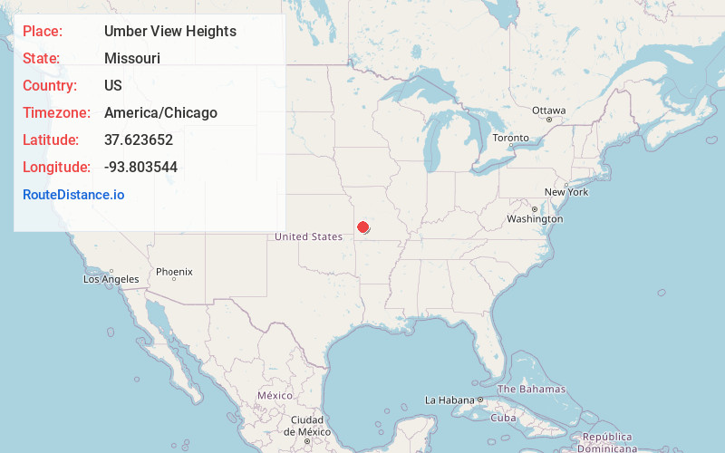
Full AddressUmber View Heights, MO 65785
-
Coordinates37.6236518, -93.8035444
-
LocationUmber View Heights , Missouri , US
-
TimezoneAmerica/Chicago
-
Current Local Time4:28:37 AM America/ChicagoWednesday, June 18, 2025
-
Page Views0
About Umber View Heights
Umber View Heights is a village in Cedar County, Missouri, United States. The population was 41 at the 2020 census.
The name Umber is derived from one Mr. Umber, the proprietor of an early-20th-century country store.
Nearby Places
Found 10 places within 50 miles

Stockton
5.2 mi
8.4 km
Stockton, MO 65785
Get directions

Jerico Springs
11.2 mi
18.0 km
Jerico Springs, MO 64756
Get directions

Dadeville
12.2 mi
19.6 km
Dadeville, MO 65635
Get directions

Fair Play
12.5 mi
20.1 km
Fair Play, MO
Get directions

Greenfield
14.5 mi
23.3 km
Greenfield, MO 65661
Get directions
Aldrich
14.7 mi
23.7 km
Aldrich, MO 65601
Get directions

Humansville
17.1 mi
27.5 km
Humansville, MO 65674
Get directions

South Greenfield
17.2 mi
27.7 km
South Greenfield, MO
Get directions

Lockwood
18.4 mi
29.6 km
Lockwood, MO 65682
Get directions

Everton
20.2 mi
32.5 km
Everton, MO 65646
Get directions
Location Links
Local Weather
Weather Information
Coming soon!
Location Map
Static map view of Umber View Heights, Missouri
Browse Places by Distance
Places within specific distances from Umber View Heights
Short Distances
Long Distances
Click any distance to see all places within that range from Umber View Heights. Distances shown in miles (1 mile ≈ 1.61 kilometers).