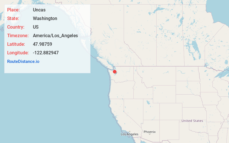
Distance to Uncas, Washington

Calculating Your Route
Just a moment while we process your request...
Location Information
-
Full AddressUncas, WA 98368
-
Coordinates47.98759, -122.8829471
-
LocationUncas , Washington , US
-
TimezoneAmerica/Los_Angeles
-
Current Local Time1:06:52 AM America/Los_AngelesWednesday, June 18, 2025
-
Page Views0
Nearby Places
Found 10 places within 50 miles

Eaglemount
2.0 mi
3.2 km
Eaglemount, WA 98368
Get directions
Tukey
4.9 mi
7.9 km
Tukey, WA 98368
Get directions

Blyn
5.8 mi
9.3 km
Blyn, WA
Get directions

Port Hadlock-Irondale
5.9 mi
9.5 km
Port Hadlock-Irondale, WA
Get directions
Jamestown S'Klallam Reservation
6.4 mi
10.3 km
Jamestown S'Klallam Reservation, Blyn, WA
Get directions
Glen Cove
8.0 mi
12.9 km
Glen Cove, WA 98368
Get directions

Port Ludlow
10.2 mi
16.4 km
Port Ludlow, WA
Get directions
Dabob
10.4 mi
16.7 km
Dabob, WA 98376
Get directions

Marrowstone Island
10.6 mi
17.1 km
Marrowstone Island, Marrowstone, WA 98358
Get directions

Port Townsend
10.6 mi
17.1 km
Port Townsend, WA
Get directions
Location Links
Local Weather
Weather Information
Coming soon!
Location Map
Static map view of Uncas, Washington
Browse Places by Distance
Places within specific distances from Uncas
Short Distances
Long Distances
Click any distance to see all places within that range from Uncas. Distances shown in miles (1 mile ≈ 1.61 kilometers).