Distance to Underwood, Indiana

Calculating Your Route
Just a moment while we process your request...
Location Information
-
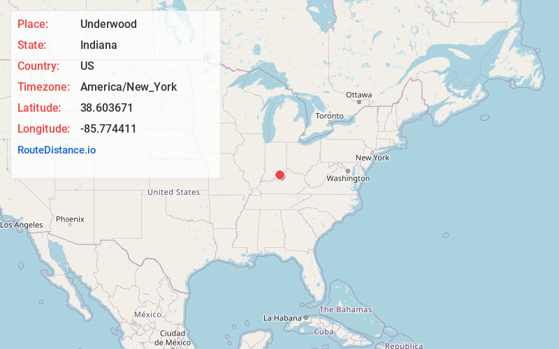
Full AddressUnderwood, IN
-
Coordinates38.6036712, -85.7744112
-
LocationUnderwood , Indiana , US
-
TimezoneAmerica/New_York
-
Current Local Time5:52:47 PM America/New_YorkTuesday, June 3, 2025
-
Page Views0
About Underwood
Underwood is an unincorporated town in Monroe Township, Clark County, Indiana, United States. It took its name from the local Underwood family.
As a newly established Census-designated place, it does not have data in the 2020 census. The 2022 American Community Survey, estimated a population of around 1,000 residents.
Nearby Places
Found 10 places within 50 miles

Henryville
4.3 mi
6.9 km
Henryville, IN
Get directions

Scottsburg
5.7 mi
9.2 km
Scottsburg, IN 47170
Get directions

Austin
9.7 mi
15.6 km
Austin, IN
Get directions

Charlestown
11.8 mi
19.0 km
Charlestown, IN 47111
Get directions

Crothersville
14.1 mi
22.7 km
Crothersville, IN 47229
Get directions

Sellersburg
14.2 mi
22.9 km
Sellersburg, IN
Get directions

New Pekin
14.8 mi
23.8 km
New Pekin, IN 47165
Get directions

Salem
17.6 mi
28.3 km
Salem, IN 47167
Get directions

Hanover
17.9 mi
28.8 km
Hanover, IN 47243
Get directions

Galena
19.6 mi
31.5 km
Galena, IN
Get directions
Location Links
Local Weather
Weather Information
Coming soon!
Location Map
Static map view of Underwood, Indiana
Browse Places by Distance
Places within specific distances from Underwood
Short Distances
Long Distances
Click any distance to see all places within that range from Underwood. Distances shown in miles (1 mile ≈ 1.61 kilometers).