Distance to Unga, Alaska

Calculating Your Route
Just a moment while we process your request...
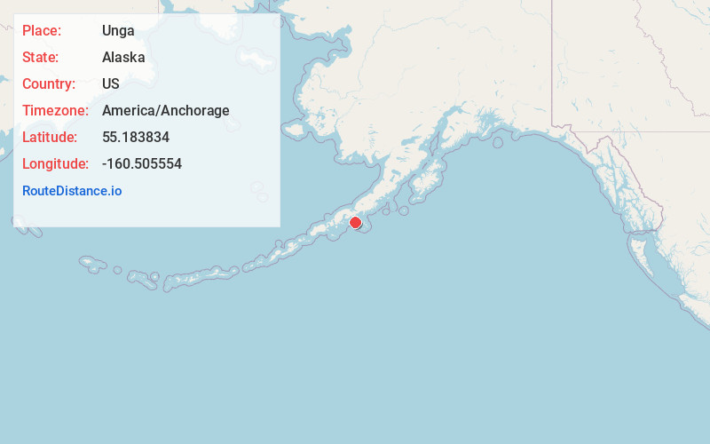
Location Information
-
Full AddressUnga, AK 99661
-
Coordinates55.183834, -160.5055537
-
LocationUnga , Alaska , US
-
TimezoneAmerica/Anchorage
-
Current Local Time9:27:38 PM America/AnchorageSunday, June 29, 2025
-
Page Views0
About Unga
Unga is a ghost town on Unga Island in the Aleutians East Borough of the U.S. state of Alaska, about two miles west of Sand Point. The island's length is 15 miles. Unga's altitude is 59 feet.


Nearby Places


Location Links
Local Weather
Weather Information
Coming soon!
Location Map
Static map view of Unga, Alaska
Browse Places by Distance
Places within specific distances from Unga
Short Distances
Long Distances
Click any distance to see all places within that range from Unga. Distances shown in miles (1 mile ≈ 1.61 kilometers).