Distance to Union, Ohio

Calculating Your Route
Just a moment while we process your request...
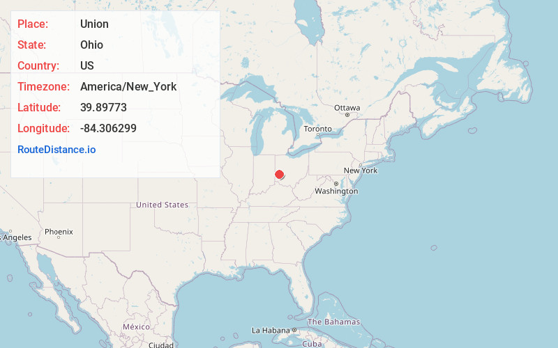
Location Information
-
Full AddressUnion, OH
-
Coordinates39.8977299, -84.3062988
-
LocationUnion , Ohio , US
-
TimezoneAmerica/New_York
-
Current Local Time5:11:30 PM America/New_YorkThursday, June 5, 2025
-
Website
-
Page Views0
About Union
Union is a city in Montgomery and Miami Counties in the U.S. state of Ohio. The population was 6,859 at the time of the 2020 census. It is part of the Dayton Metropolitan Statistical Area.


Nearby Places
Found 10 places within 50 miles

Englewood
1.4 mi
2.3 km
Englewood, OH
Get directions

Clayton
3.7 mi
6.0 km
Clayton, OH
Get directions

Vandalia
5.7 mi
9.2 km
Vandalia, OH
Get directions

Trotwood
6.9 mi
11.1 km
Trotwood, OH
Get directions

Northridge
7.9 mi
12.7 km
Northridge, OH 45414
Get directions

Tipp City
8.3 mi
13.4 km
Tipp City, OH
Get directions

Huber Heights
10.3 mi
16.6 km
Huber Heights, OH
Get directions

Troy
11.2 mi
18.0 km
Troy, OH 45373
Get directions

Dayton
11.3 mi
18.2 km
Dayton, OH
Get directions

Riverside
12.6 mi
20.3 km
Riverside, OH
Get directions
Location Links
Local Weather
Weather Information
Coming soon!
Location Map
Static map view of Union, Ohio
Browse Places by Distance
Places within specific distances from Union
Short Distances
Long Distances
Click any distance to see all places within that range from Union. Distances shown in miles (1 mile ≈ 1.61 kilometers).