Distance to Union Gap, Washington

Calculating Your Route
Just a moment while we process your request...
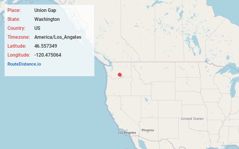
Location Information
-
Full AddressUnion Gap, WA 98903
-
Coordinates46.5573492, -120.4750638
-
LocationUnion Gap , Washington , US
-
TimezoneAmerica/Los_Angeles
-
Current Local Time2:21:43 AM America/Los_AngelesWednesday, June 18, 2025
-
Page Views0
About Union Gap
Union Gap is a city in Yakima County, Washington, United States. The population was 6,568 at the 2020 census. Union Gap has become the retail hub for the entire Yakima Valley as a result of Valley Mall and other thriving businesses being located here. Part of the city is within the Yakama Nation.


Nearby Places
Found 7 places within 50 miles

Yakima
3.4 mi
5.5 km
Yakima, WA
Get directions

Terrace Heights
3.8 mi
6.1 km
Terrace Heights, WA 98901
Get directions

Selah
7.2 mi
11.6 km
Selah, WA
Get directions

Toppenish
14.7 mi
23.7 km
Toppenish, WA 98948
Get directions

Sunnyside
27.5 mi
44.3 km
Sunnyside, WA
Get directions

Ellensburg
30.5 mi
49.1 km
Ellensburg, WA
Get directions

Grandview
34.6 mi
55.7 km
Grandview, WA 98930
Get directions
Location Links
Local Weather
Weather Information
Coming soon!
Location Map
Static map view of Union Gap, Washington
Browse Places by Distance
Places within specific distances from Union Gap
Short Distances
Long Distances
Click any distance to see all places within that range from Union Gap. Distances shown in miles (1 mile ≈ 1.61 kilometers).