Distance to Union Grove, Alabama

Calculating Your Route
Just a moment while we process your request...
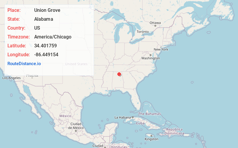
Location Information
-
Full AddressUnion Grove, AL 35175
-
Coordinates34.4017589, -86.4491538
-
LocationUnion Grove , Alabama , US
-
TimezoneAmerica/Chicago
-
Current Local Time3:24:45 AM America/ChicagoFriday, June 20, 2025
-
Page Views0
About Union Grove
Union Grove is a town in Marshall County, Alabama, United States, and is included in the Huntsville-Decatur Combined Statistical Area. As of the 2020 census, the population of the town was 67, down from 77 at the 2010 census.

Nearby Places
Found 10 places within 50 miles

Arab
6.4 mi
10.3 km
Arab, AL 35016
Get directions

Guntersville
9.3 mi
15.0 km
Guntersville, AL
Get directions

Joppa
9.5 mi
15.3 km
Joppa, AL
Get directions

New Hope
9.9 mi
15.9 km
New Hope, AL 35760
Get directions

Owens Cross Roads
12.9 mi
20.8 km
Owens Cross Roads, AL
Get directions

Baileyton
13.4 mi
21.6 km
Baileyton, AL
Get directions

Grant
14.2 mi
22.9 km
Grant, AL 35747
Get directions

Albertville
16.6 mi
26.7 km
Albertville, AL
Get directions

Fairview
17.1 mi
27.5 km
Fairview, AL 35058
Get directions

Douglas
17.3 mi
27.8 km
Douglas, AL
Get directions
Location Links
Local Weather
Weather Information
Coming soon!
Location Map
Static map view of Union Grove, Alabama
Browse Places by Distance
Places within specific distances from Union Grove
Short Distances
Long Distances
Click any distance to see all places within that range from Union Grove. Distances shown in miles (1 mile ≈ 1.61 kilometers).