Distance to Union Hill, Minnesota

Calculating Your Route
Just a moment while we process your request...
Location Information
-
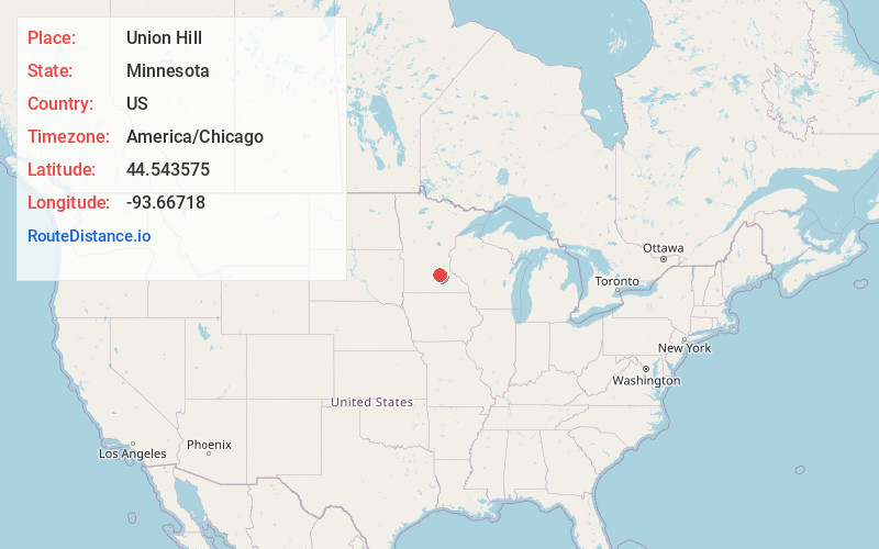
Full AddressUnion Hill, Derrynane Township, MN 56071
-
Coordinates44.5435747, -93.6671796
-
LocationDerrynane Township , Minnesota , US
-
TimezoneAmerica/Chicago
-
Current Local Time10:20:23 PM America/ChicagoThursday, June 19, 2025
-
Page Views0
About Union Hill
Union Hill is an unincorporated community in Le Sueur and Scott counties in the U.S. state of Minnesota.
The community is located four miles west of New Prague at the junction of State Highway 19, County Road 31, and Church Avenue. Nearby places also include Heidelberg, Henderson, and Belle Plaine.
Nearby Places
Found 10 places within 50 miles

Heidelberg
4.1 mi
6.6 km
Heidelberg, MN 56071
Get directions

New Prague
4.5 mi
7.2 km
New Prague, MN 56071
Get directions

Belle Plaine
7.4 mi
11.9 km
Belle Plaine, MN
Get directions

Montgomery
8.4 mi
13.5 km
Montgomery, MN 56069
Get directions
St Patrick
8.8 mi
14.2 km
St Patrick, MN 56071
Get directions

Jordan
9.0 mi
14.5 km
Jordan, MN 55352
Get directions
Wheatland
10.6 mi
17.1 km
Wheatland, MN 56069
Get directions
Le Center
11.1 mi
17.9 km
Le Center, MN 56057
Get directions
Lydia
11.1 mi
17.9 km
Lydia, Spring Lake Township, MN 55352
Get directions

Henderson
11.9 mi
19.2 km
Henderson, MN 56044
Get directions
Location Links
Local Weather
Weather Information
Coming soon!
Location Map
Static map view of Union Hill, Minnesota
Browse Places by Distance
Places within specific distances from Union Hill
Short Distances
Long Distances
Click any distance to see all places within that range from Union Hill. Distances shown in miles (1 mile ≈ 1.61 kilometers).