Distance to Union Mills, West Virginia

Calculating Your Route
Just a moment while we process your request...
Location Information
-
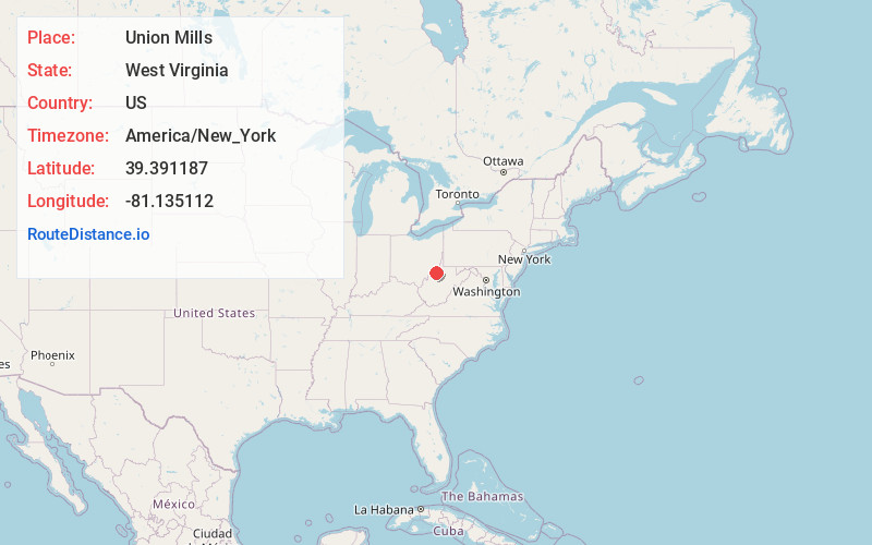
Full AddressUnion Mills, WV 26170
-
Coordinates39.3911872, -81.1351119
-
LocationWest Virginia , US
-
TimezoneAmerica/New_York
-
Current Local Time2:02:53 AM America/New_YorkThursday, June 19, 2025
-
Page Views0
About Union Mills
Union Mills is an unincorporated community in Pleasants County, West Virginia, United States. The community is located along McKim Creek at its confluence with Middle Island Creek.
Nearby Places
Found 10 places within 50 miles

Pleasants County
1.1 mi
1.8 km
Pleasants County, WV
Get directions

St Marys
3.6 mi
5.8 km
St Marys, WV 26170
Get directions
Grape Island
3.7 mi
6.0 km
Grape Island, West Virginia 26170
Get directions
Wade
4.0 mi
6.4 km
Wade, OH 45768
Get directions
Wiley
4.2 mi
6.8 km
Wiley, WV 26170
Get directions
Arvilla
4.6 mi
7.4 km
Arvilla, WV 26146
Get directions
Green Run
4.7 mi
7.6 km
Green Run, WV 26170
Get directions

Newport
4.9 mi
7.9 km
Newport, OH 45768
Get directions
Adlai
5.3 mi
8.5 km
Adlai, WV 26170
Get directions
Bevan
5.4 mi
8.7 km
Bevan, Newport Township, OH 45768
Get directions
Location Links
Local Weather
Weather Information
Coming soon!
Location Map
Static map view of Union Mills, West Virginia
Browse Places by Distance
Places within specific distances from Union Mills
Short Distances
Long Distances
Click any distance to see all places within that range from Union Mills. Distances shown in miles (1 mile ≈ 1.61 kilometers).