Distance to Union Pier, Michigan

Calculating Your Route
Just a moment while we process your request...
Location Information
-
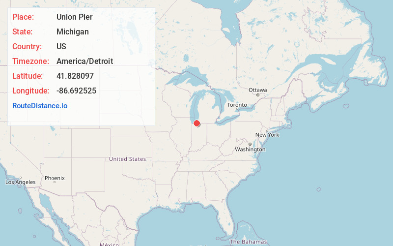
Full AddressUnion Pier, MI 49129
-
Coordinates41.8280974, -86.6925251
-
LocationUnion Pier , Michigan , US
-
TimezoneAmerica/Detroit
-
Current Local Time5:10:58 AM America/DetroitSaturday, May 31, 2025
-
Page Views0
About Union Pier
Union Pier is an unincorporated community in Berrien County in the U.S. state of Michigan. It is situated between the Lake Michigan shore and the Galien River about five miles north of the Indiana state border.
The ZIP code is 49129 and the FIPS place code is 81400.


Nearby Places
Found 10 places within 50 miles

Gordon Beach
0.5 mi
0.8 km
Gordon Beach, MI 49129
Get directions

Sokol Camp
1.7 mi
2.7 km
Sokol Camp, New Buffalo Township, MI 49117
Get directions

Lakeside
1.9 mi
3.1 km
Lakeside, MI 49116
Get directions
Turner Shores
2.8 mi
4.5 km
Turner Shores, Chikaming Township, MI 49116
Get directions

New Buffalo
3.5 mi
5.6 km
New Buffalo, MI 49117
Get directions

Three Oaks
4.7 mi
7.6 km
Three Oaks, MI 49128
Get directions
Hesston
5.5 mi
8.9 km
Hesston, IN 46371
Get directions

Grand Beach
6.6 mi
10.6 km
Grand Beach, MI 49117
Get directions

Michiana
7.6 mi
12.2 km
Michiana, MI 49117
Get directions
Tee Lake
7.7 mi
12.4 km
Tee Lake, Galena Township, IN 46350
Get directions
Location Links
Local Weather
Weather Information
Coming soon!
Location Map
Static map view of Union Pier, Michigan
Browse Places by Distance
Places within specific distances from Union Pier
Short Distances
Long Distances
Click any distance to see all places within that range from Union Pier. Distances shown in miles (1 mile ≈ 1.61 kilometers).